№ 03 · April 2023 · Hawaii
Big Island.
Five days of 4×4 between two volcanoes — Mauna Kea and Kīlauea — with the black sands of Punaluʻu, the green of Papakōlea, and Kona coffee in the background. The Big Island is the largest and youngest of the chain, still growing.
The island that grows
The Big Island is the youngest and largest in the Hawaiian chain — still growing, frame by frame, as Kīlauea’s lava pushes toward the sea. Five days, two volcanoes on the list, one 4×4, a map where dirt tracks outnumber pavement.
Hilo — the wet side
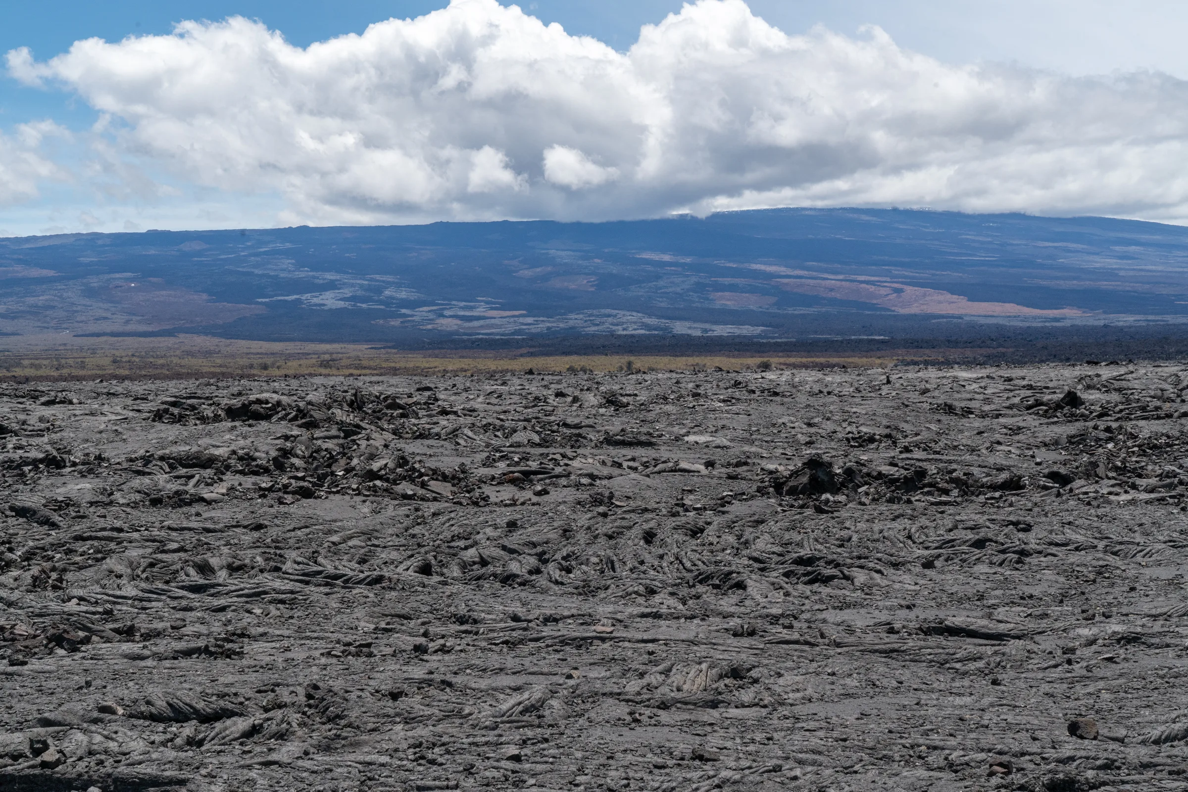
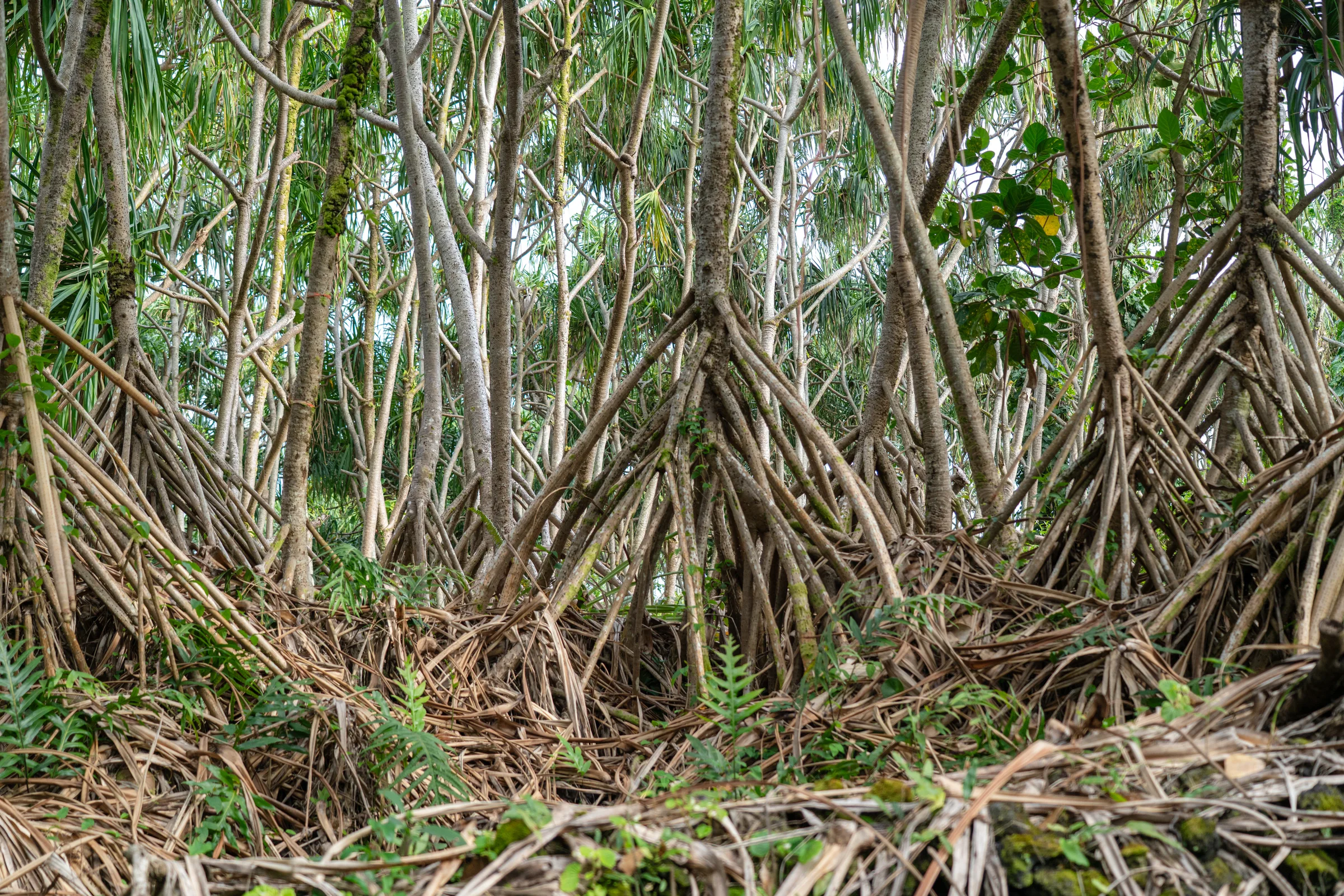
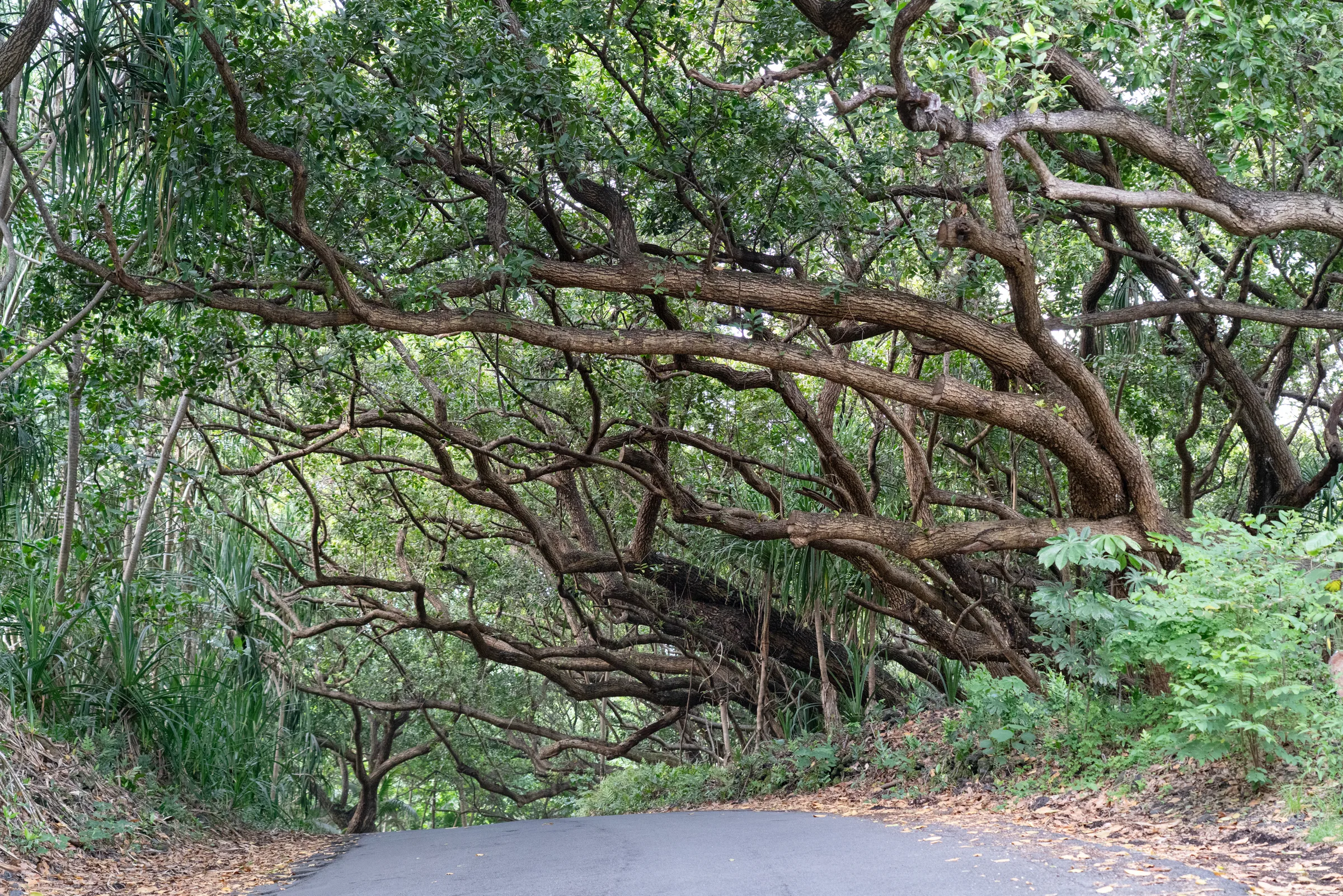
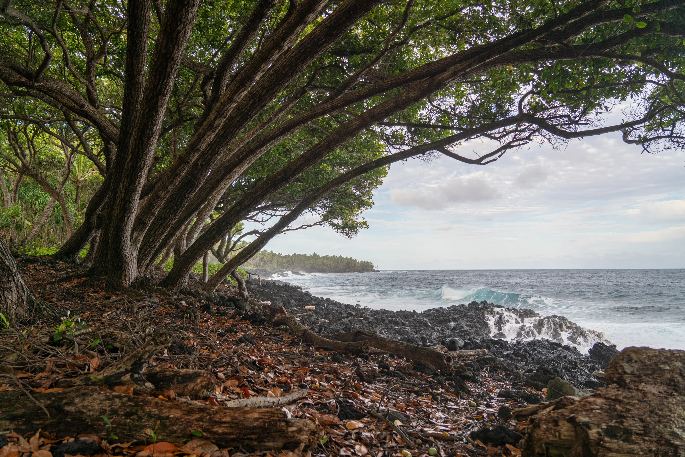
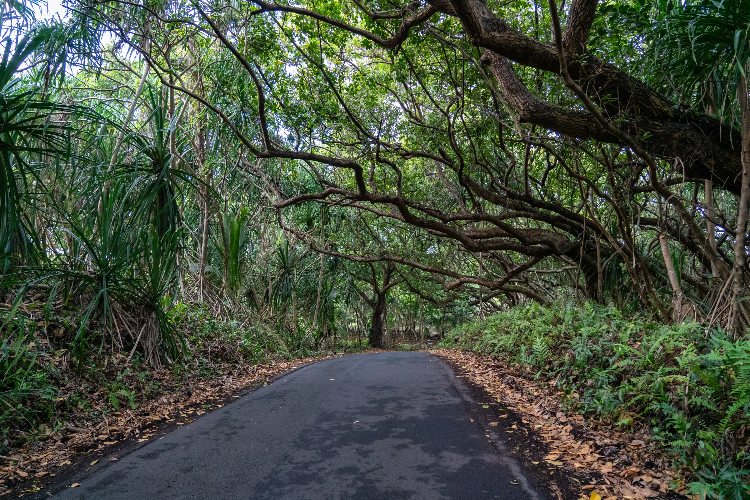
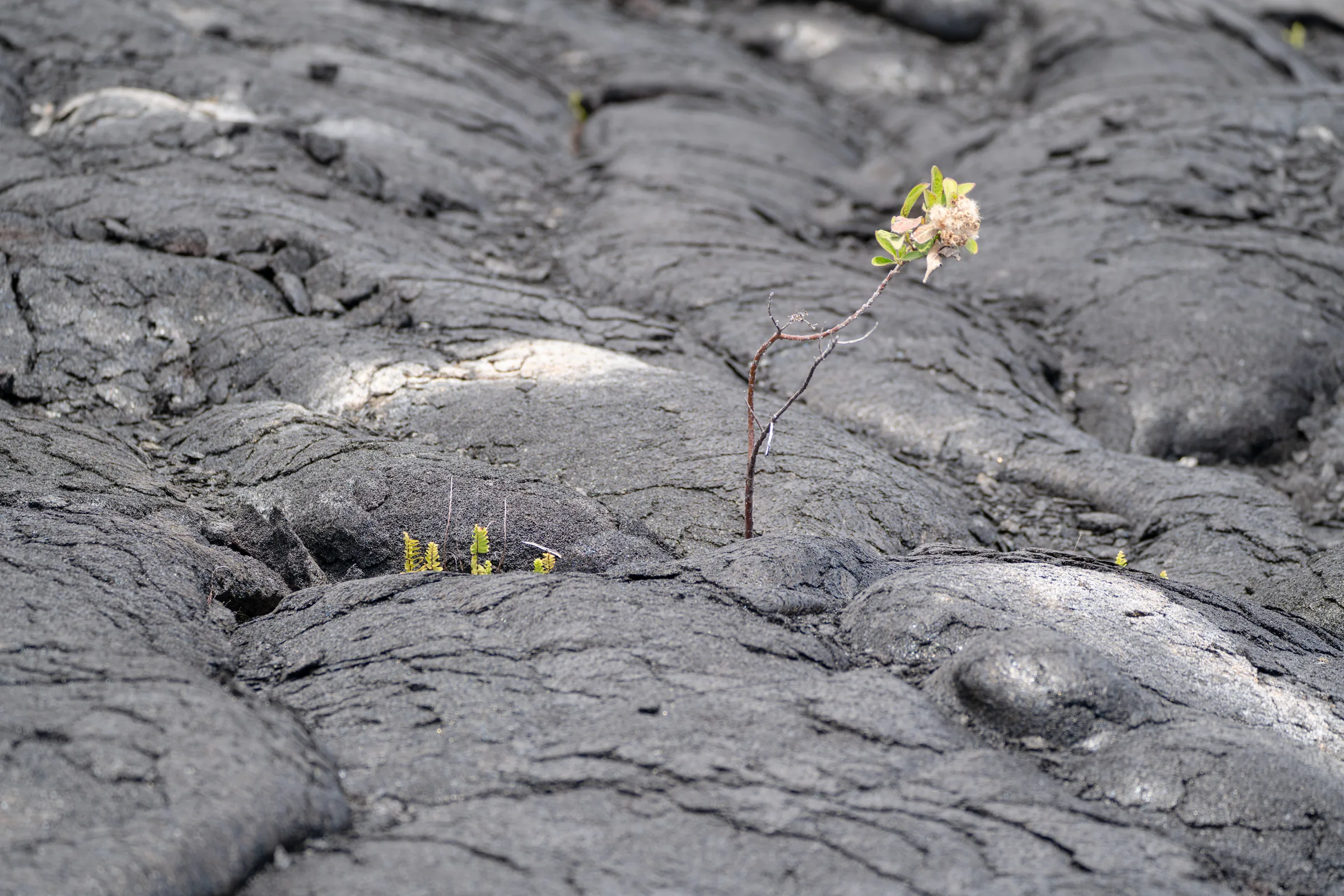
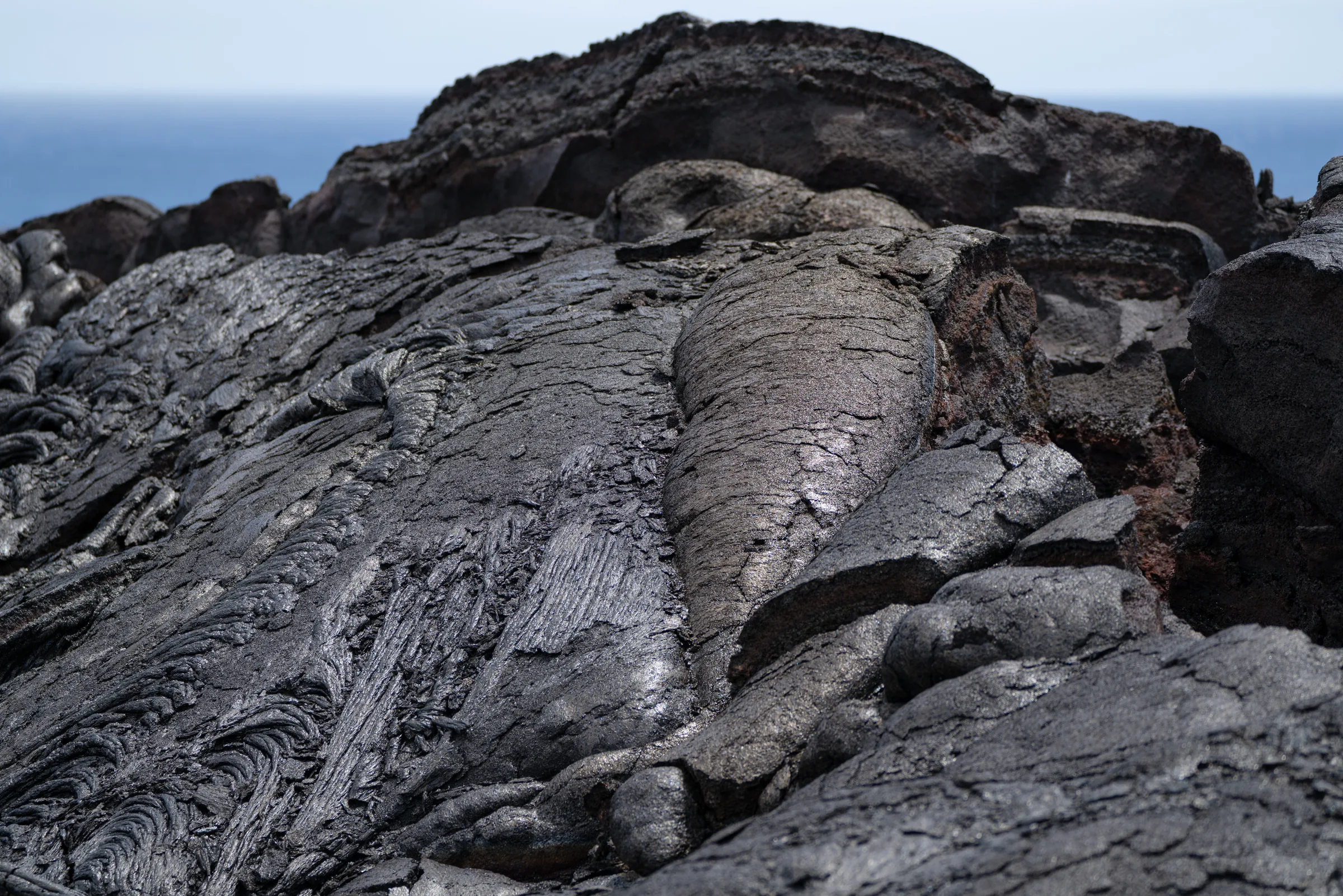
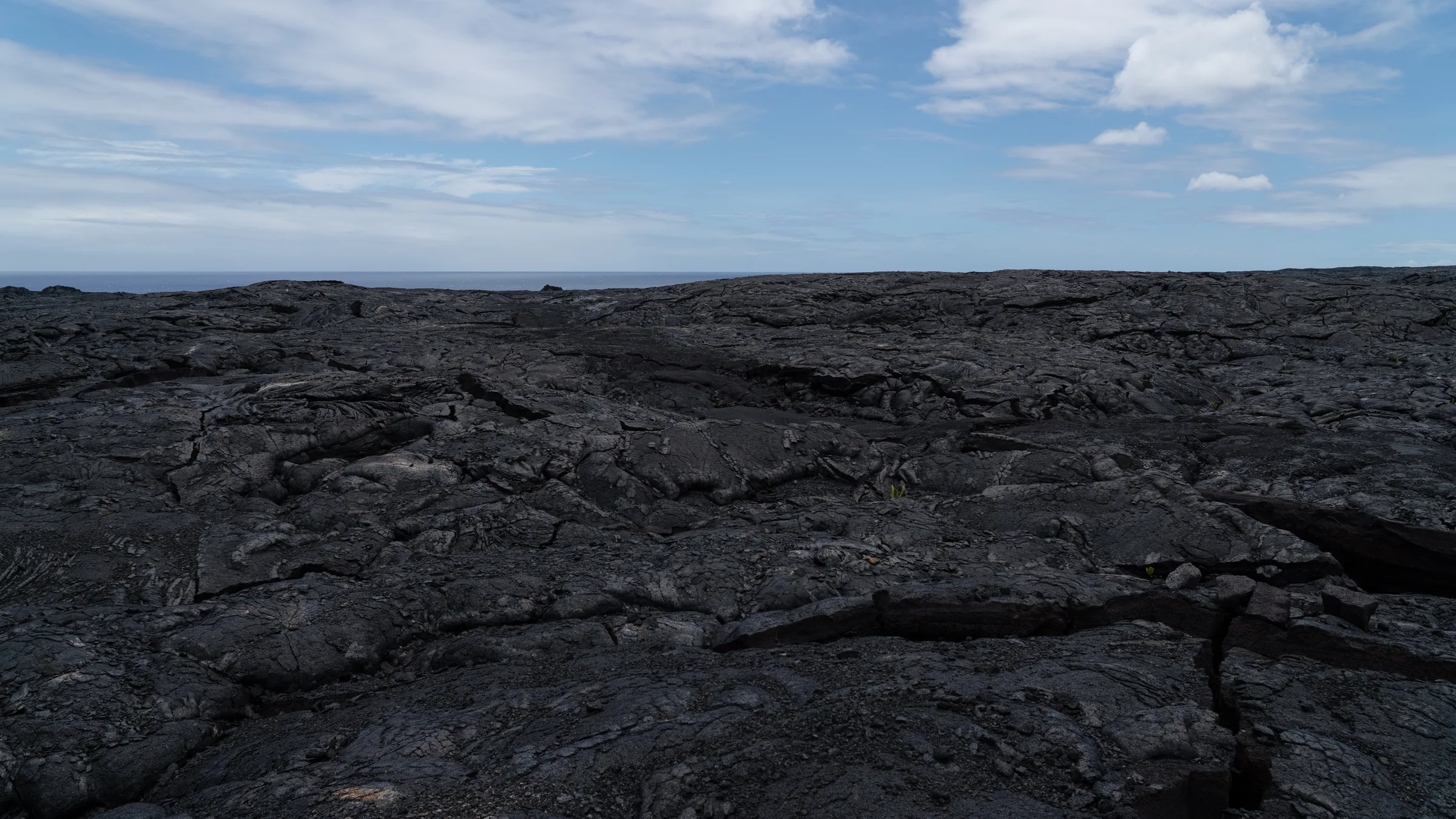
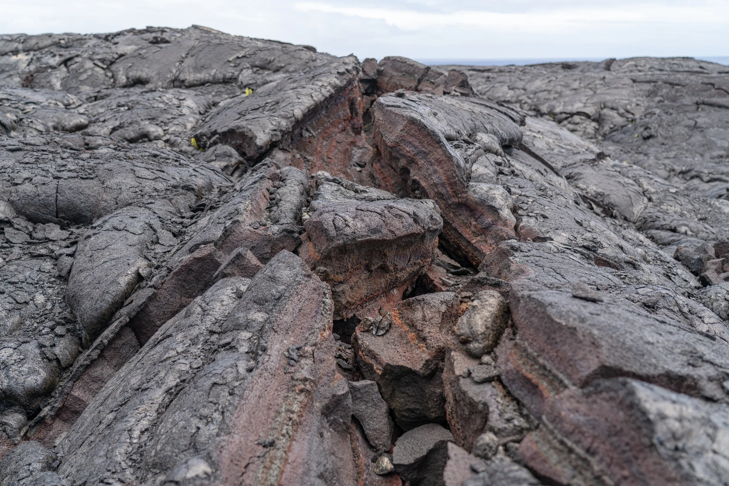
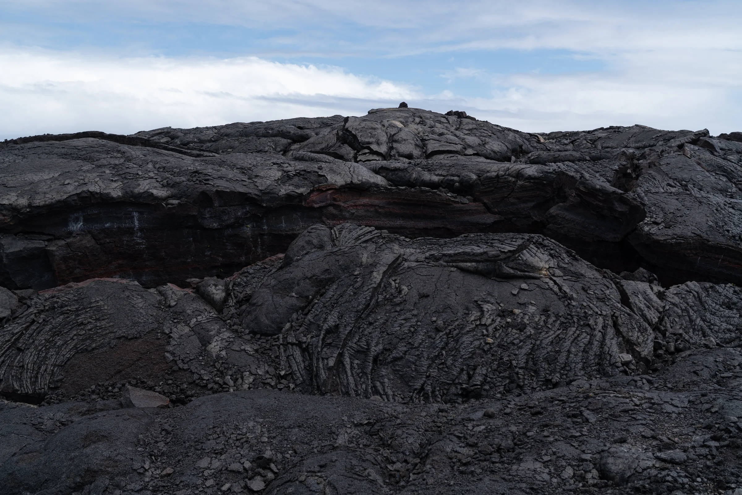
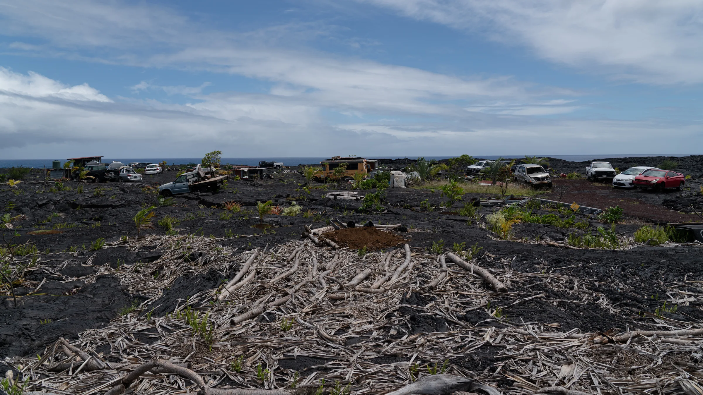
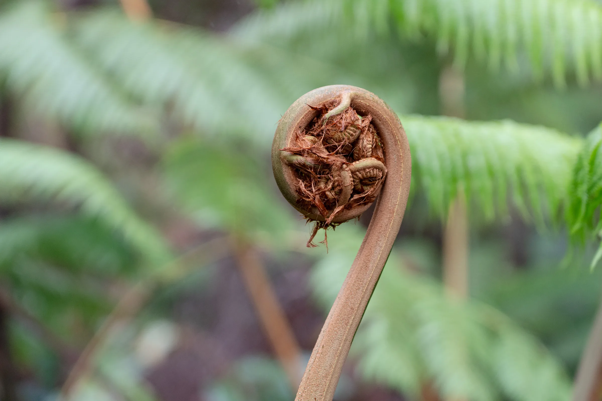
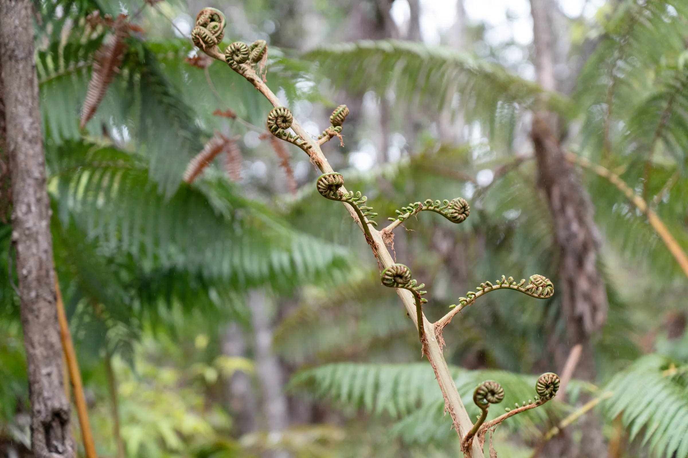
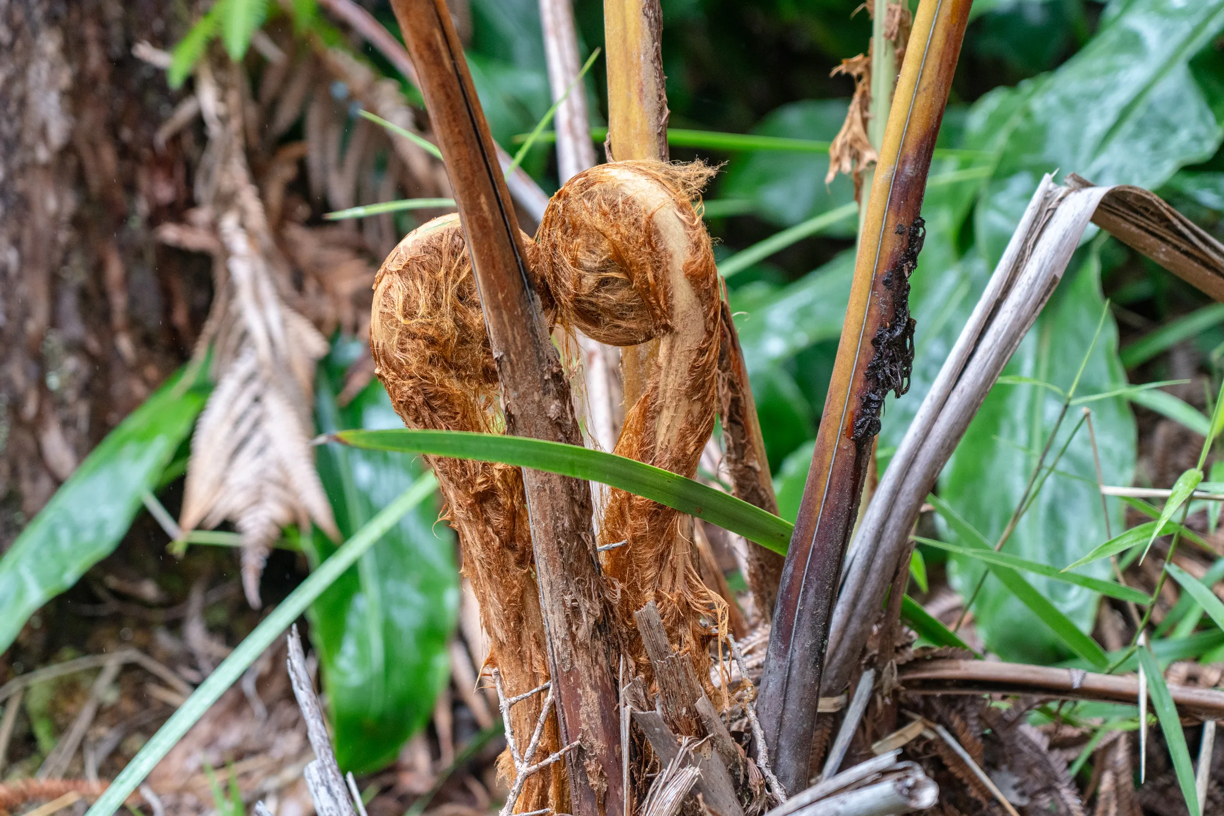
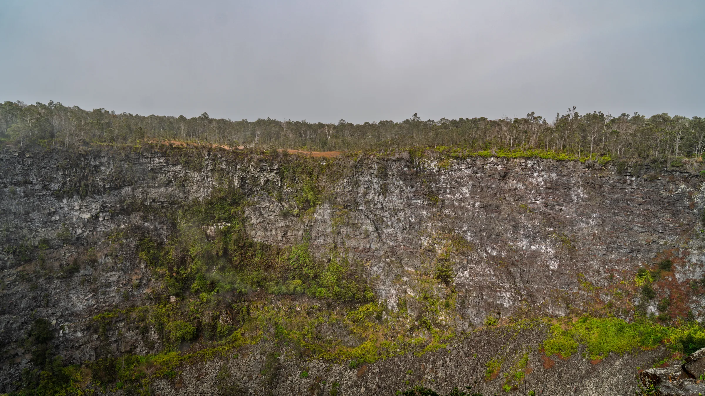
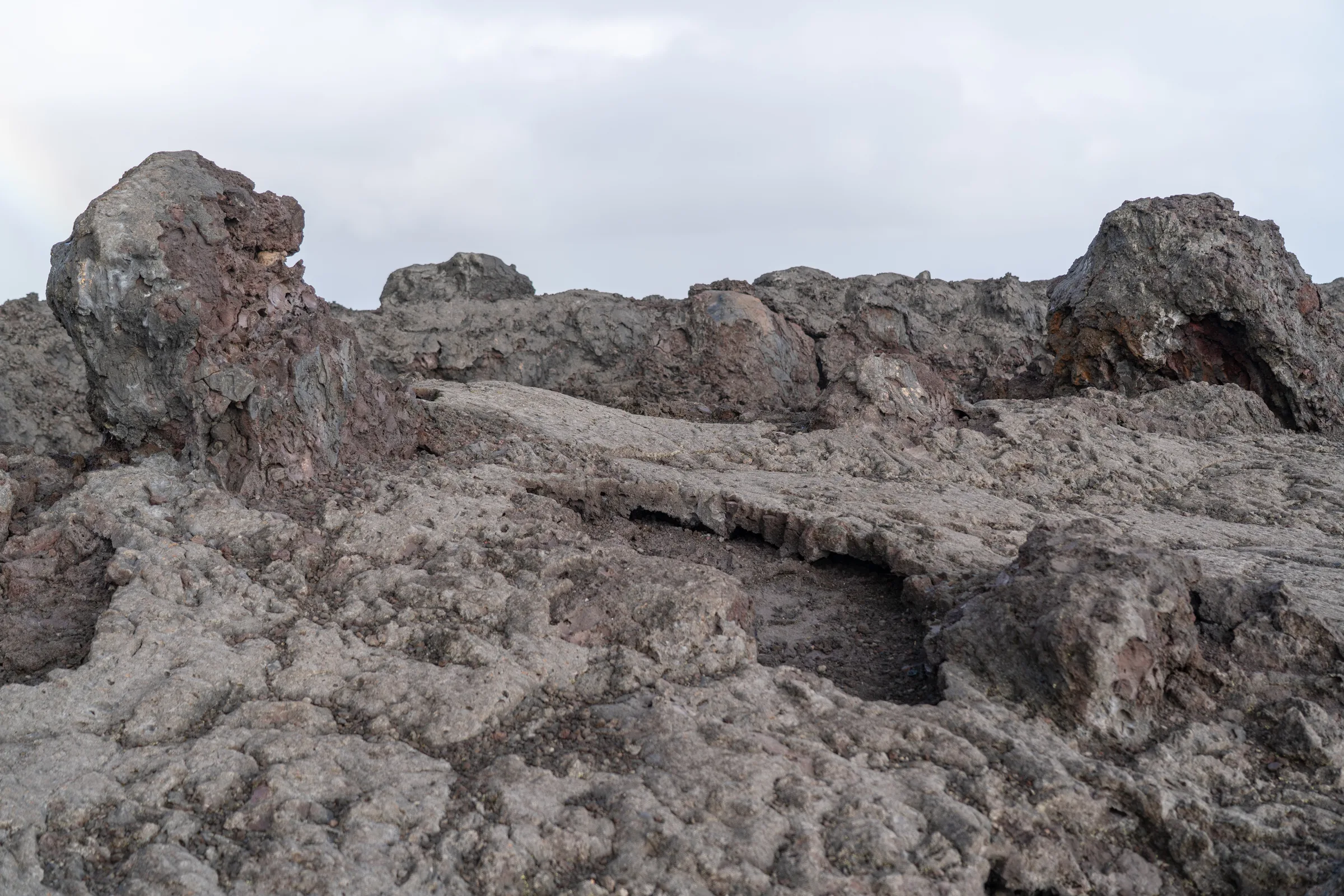
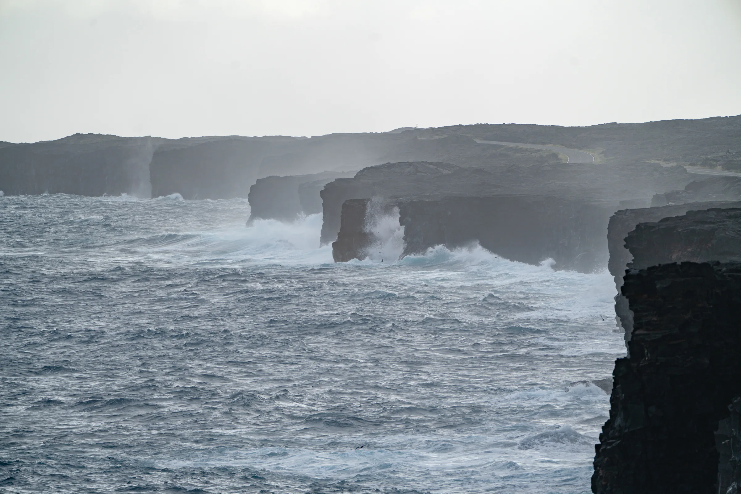
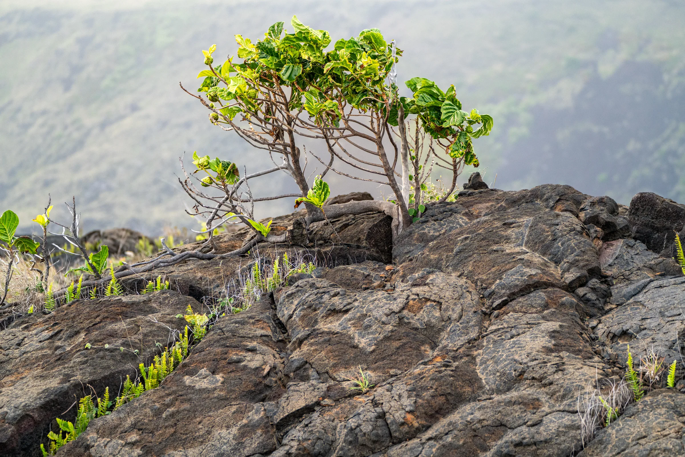
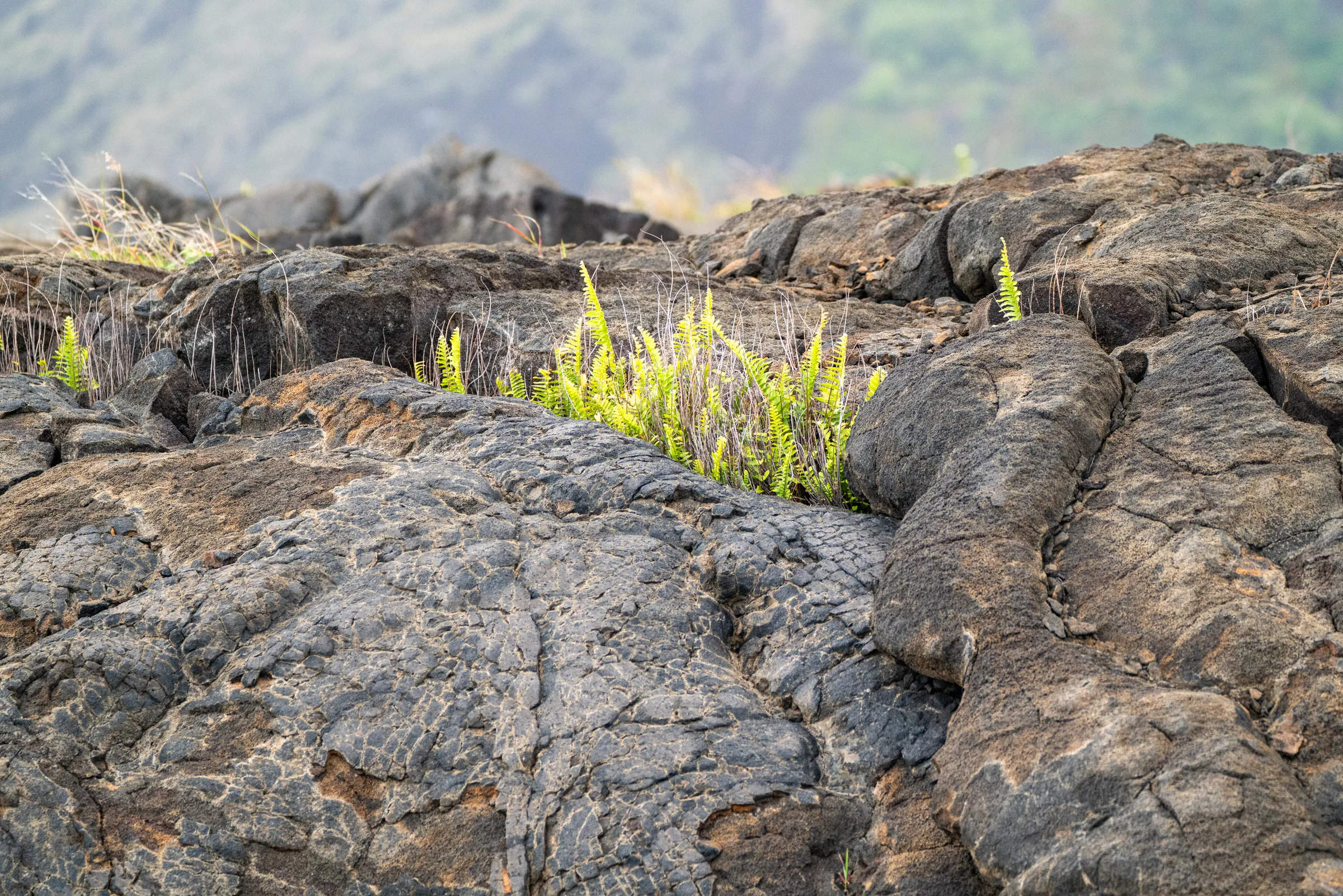
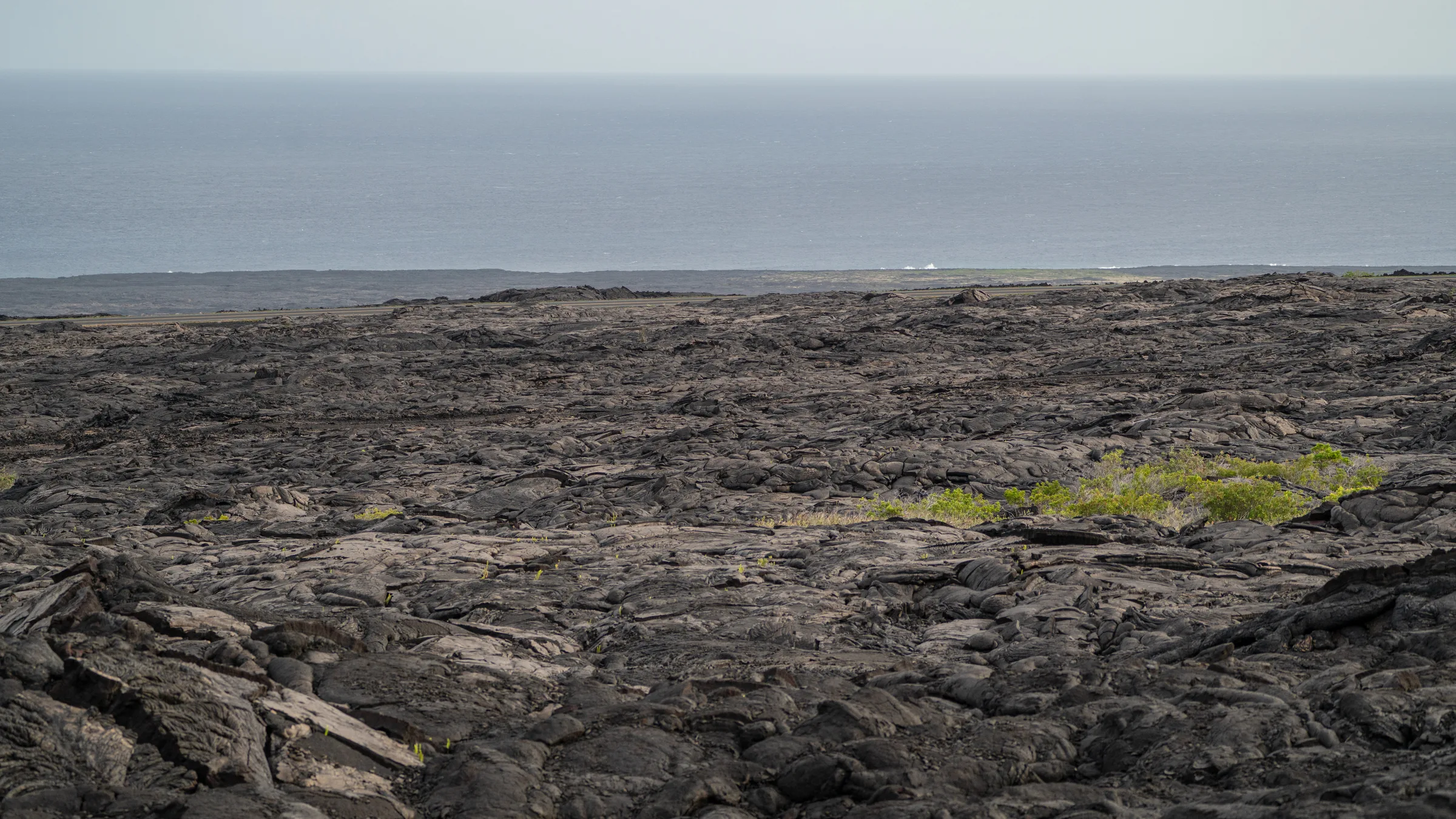
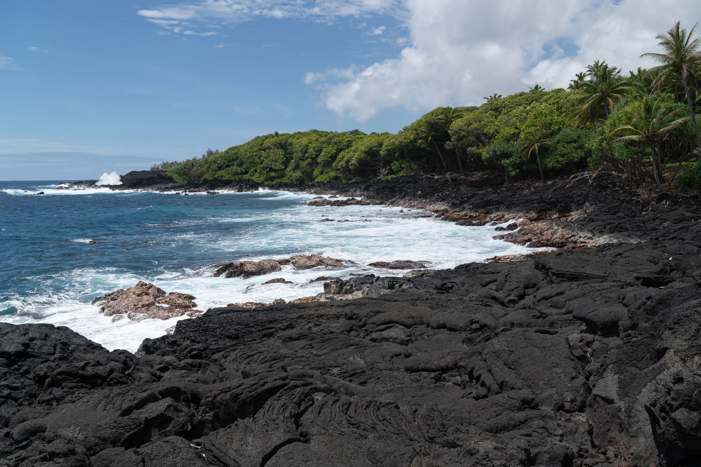
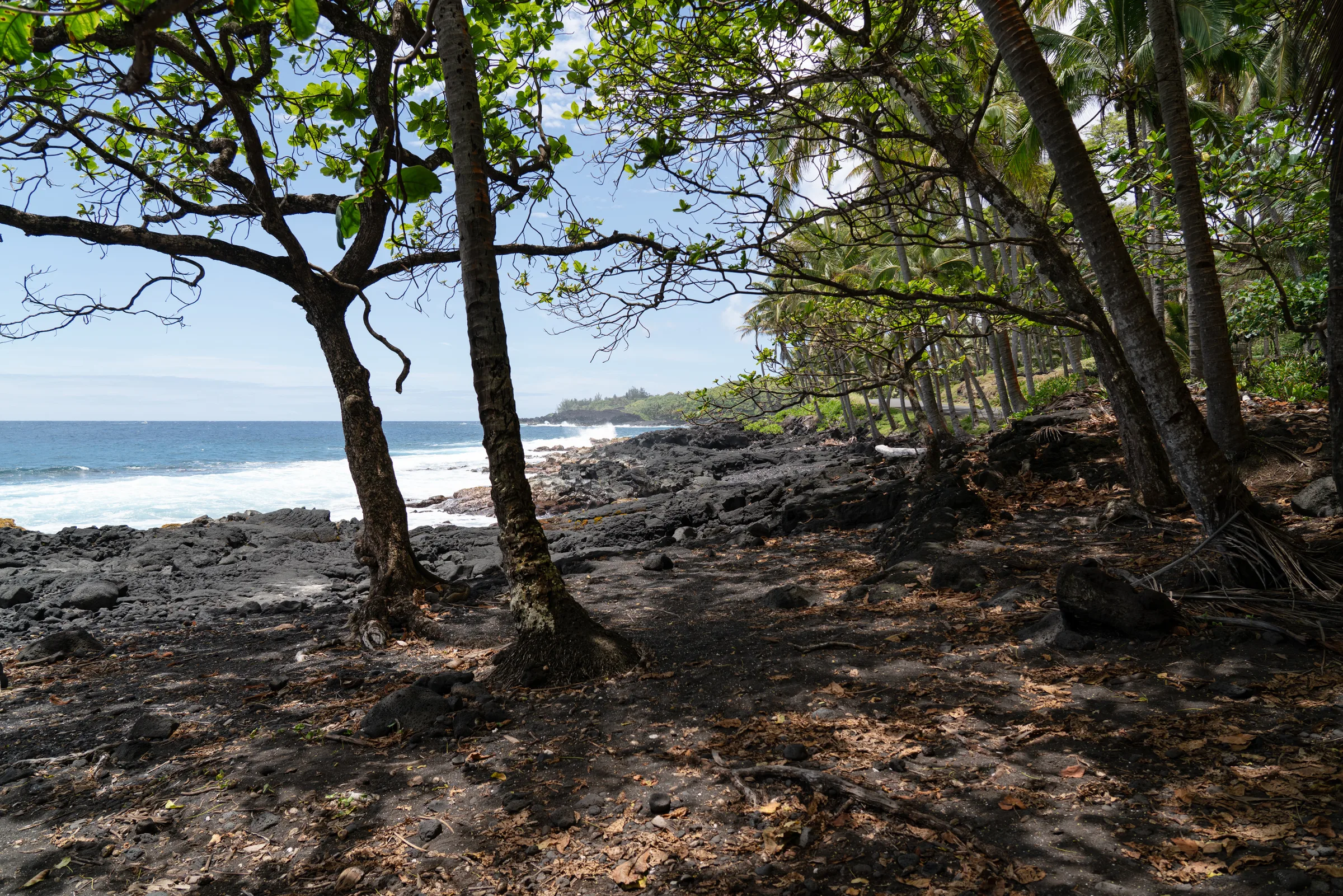
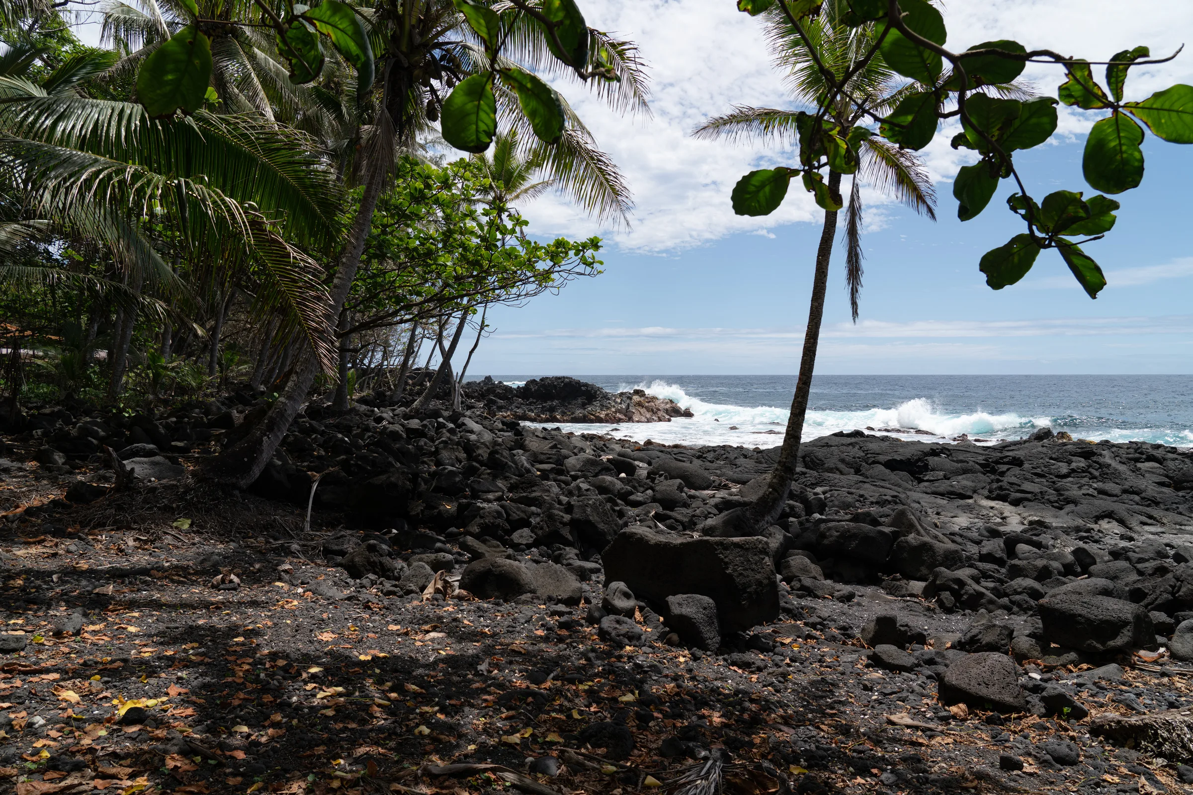
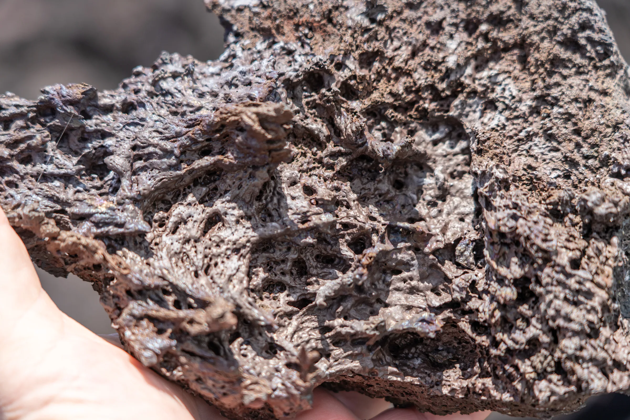
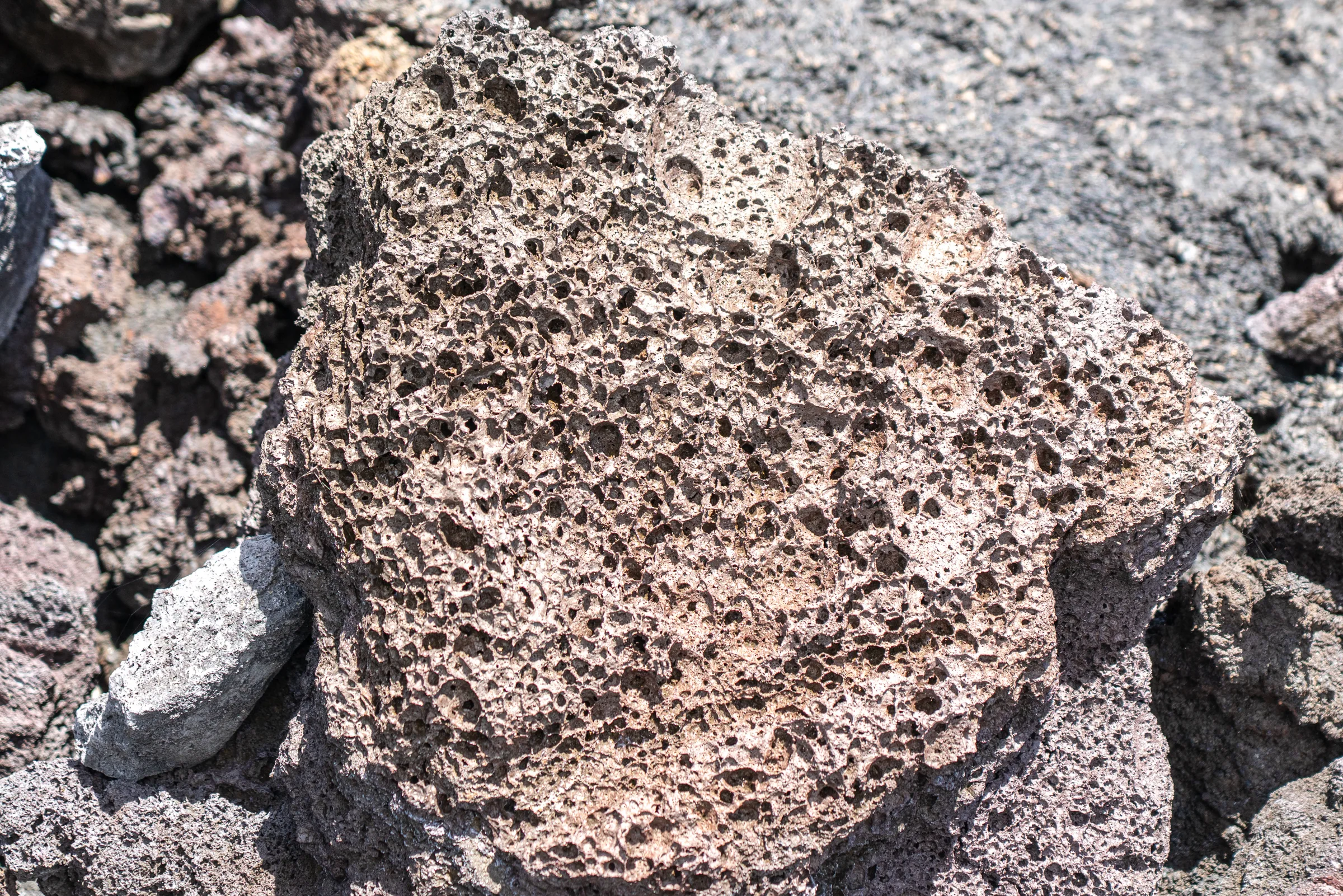
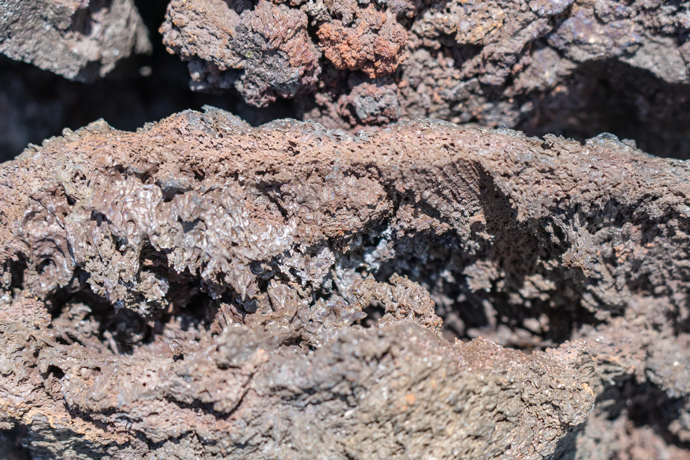
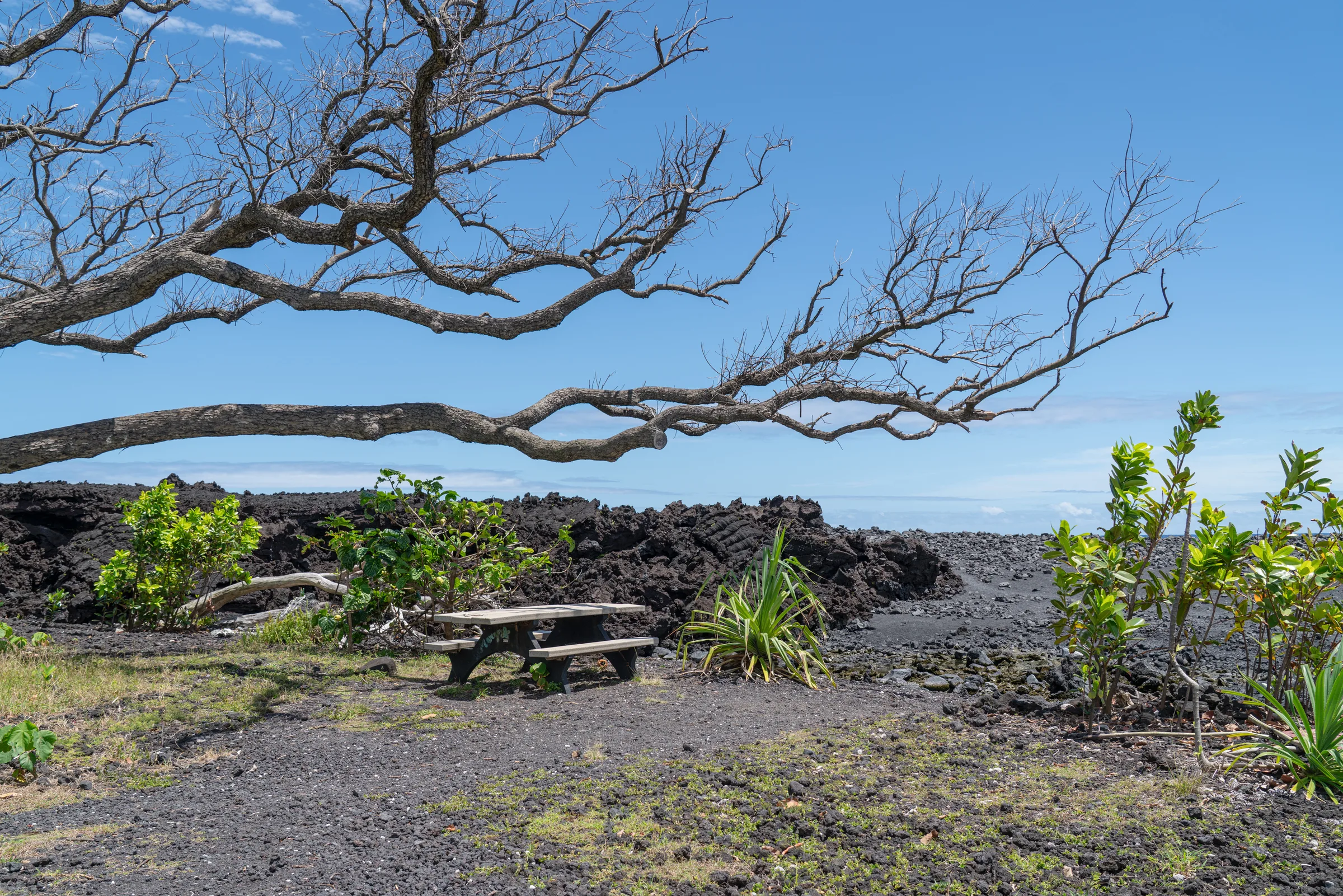
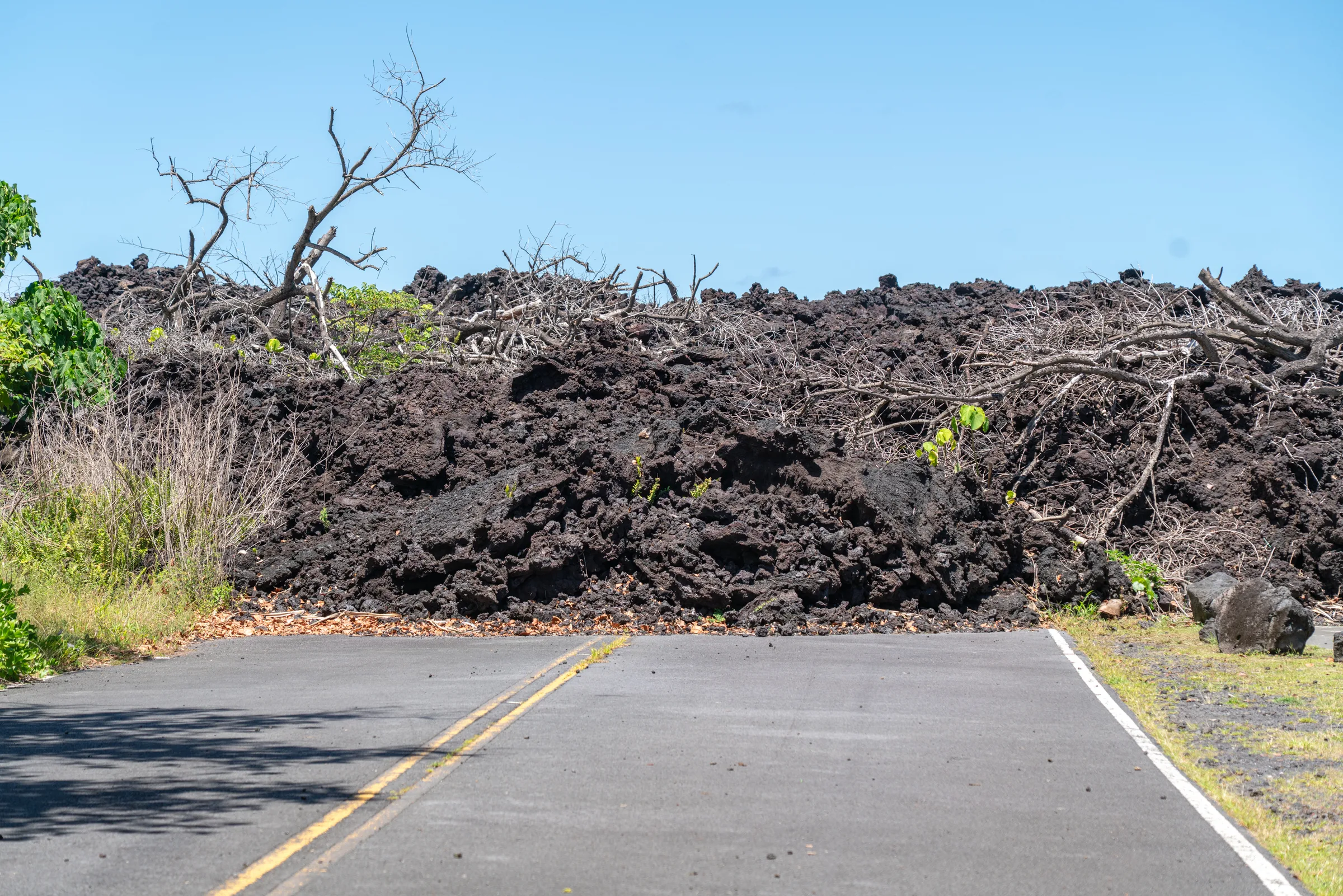
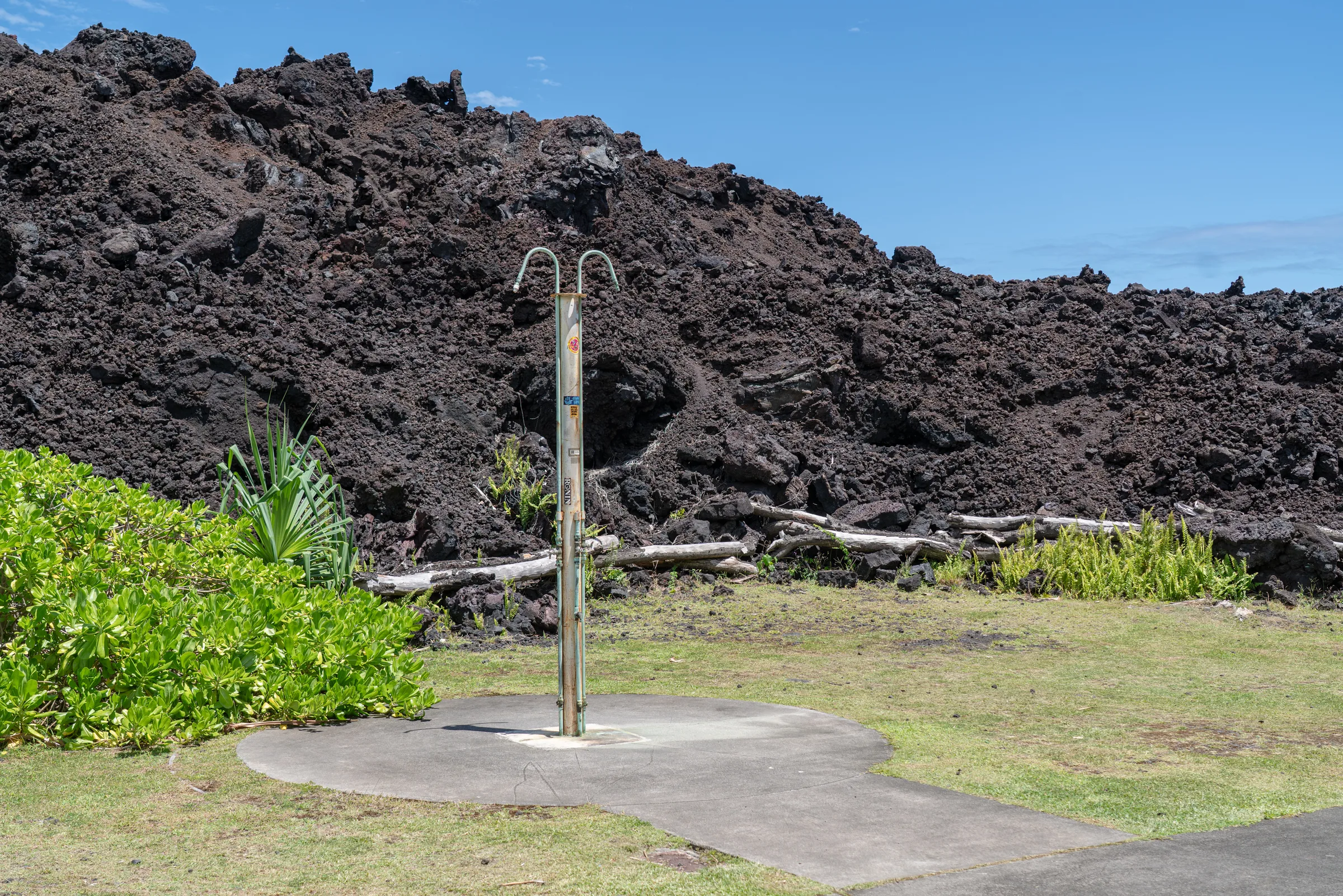
The island splits in half meteorologically. The eastern side, Hilo, gets over 3,000 mm of rain a year — ferns reach head-height, asphalt steams after a night storm, the air smells of wet moss and ginger. We set out at dawn. Three hours later we enter the lava fields of Volcanoes National Park (UNESCO, 1987) — the same ecosystem, eight kilometers wide, changes three times: jungle, moss, raw lava.
Kīlauea — the volcano that never sleeps
Kīlauea is one of the most active volcanoes in the world. The Pu’u’Ō’ō eruption, which ran for 35 years, ended in 2018; since 2020 outbursts have returned to the Halemaʻumaʻu caldera every few months. We stand on the rim at dusk; when the inside is working, an orange glow climbs from the crater. Hawaiians call this Pele’s home — goddess of fire and volcanoes. No one points a finger at it — not a figure of speech, but a place of worship.
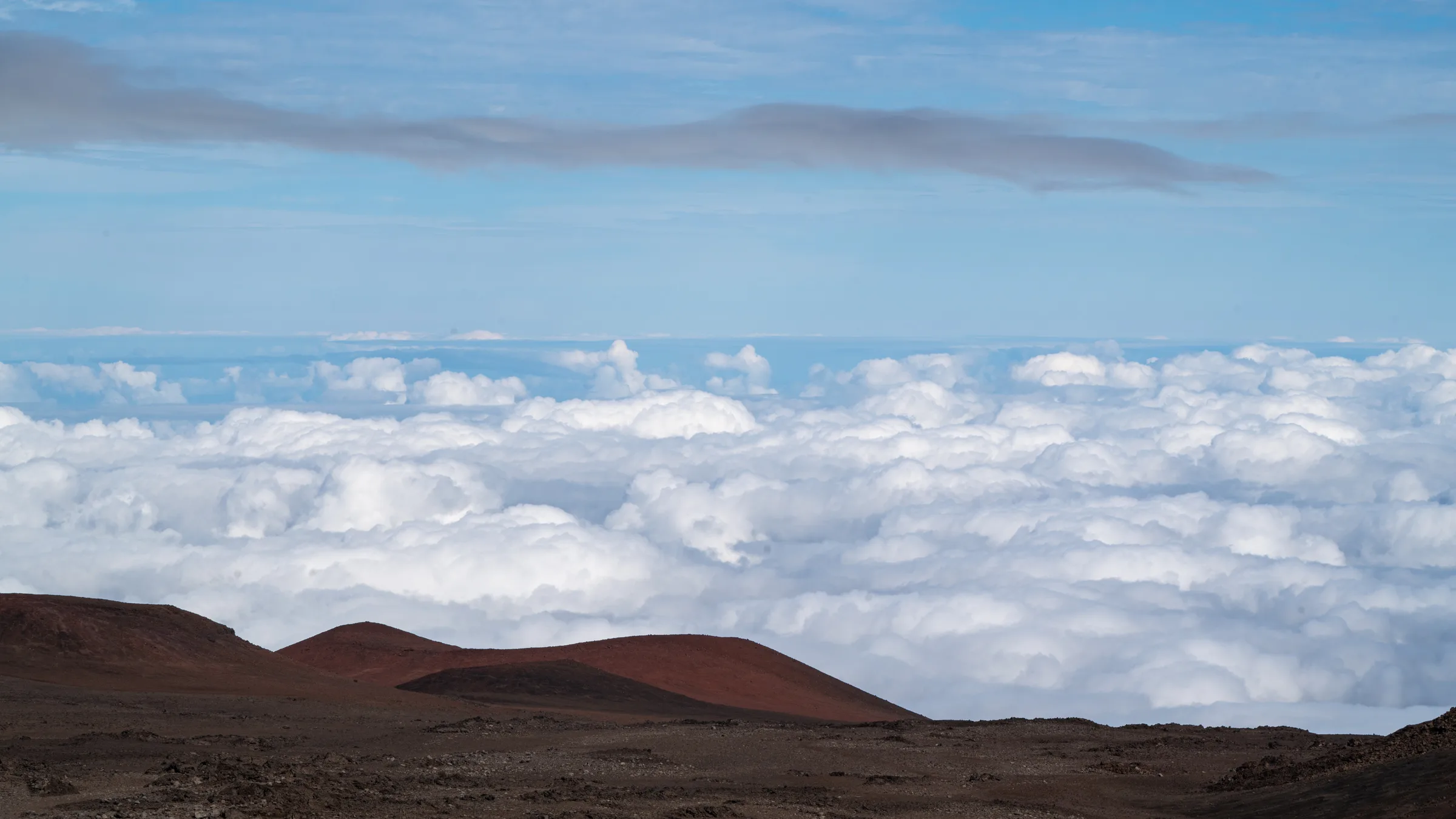
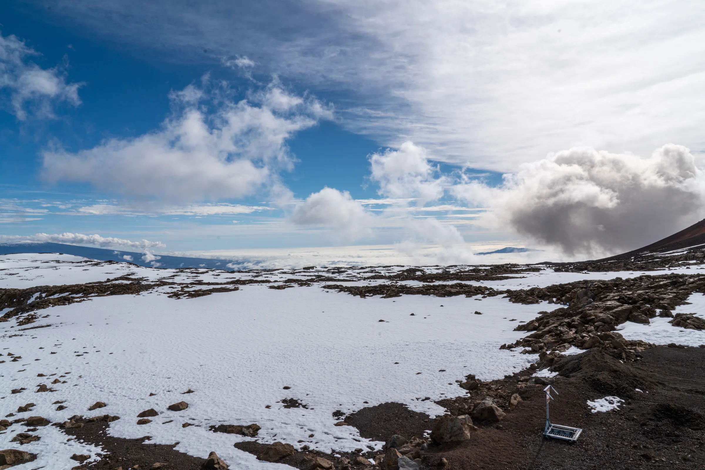
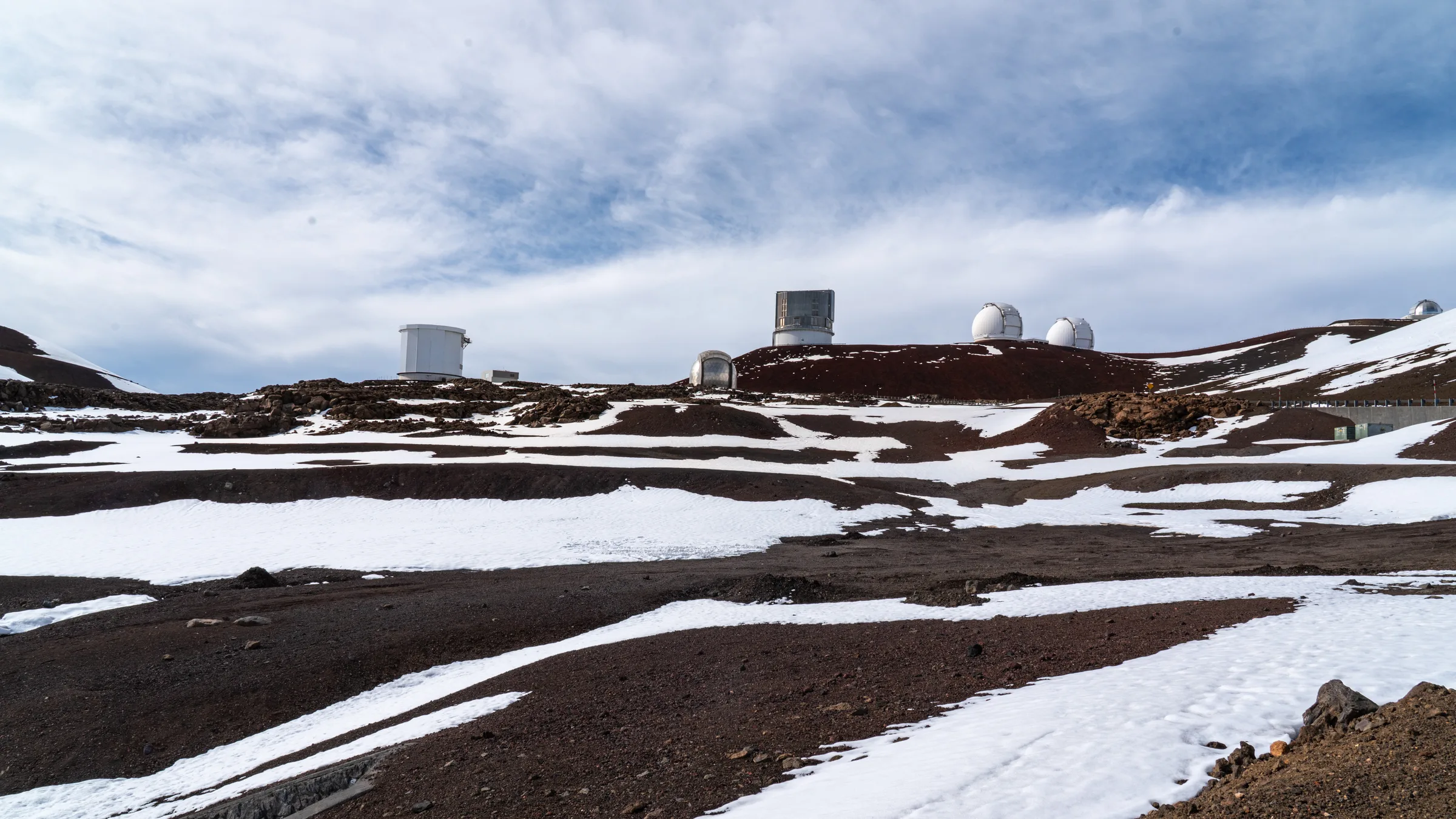
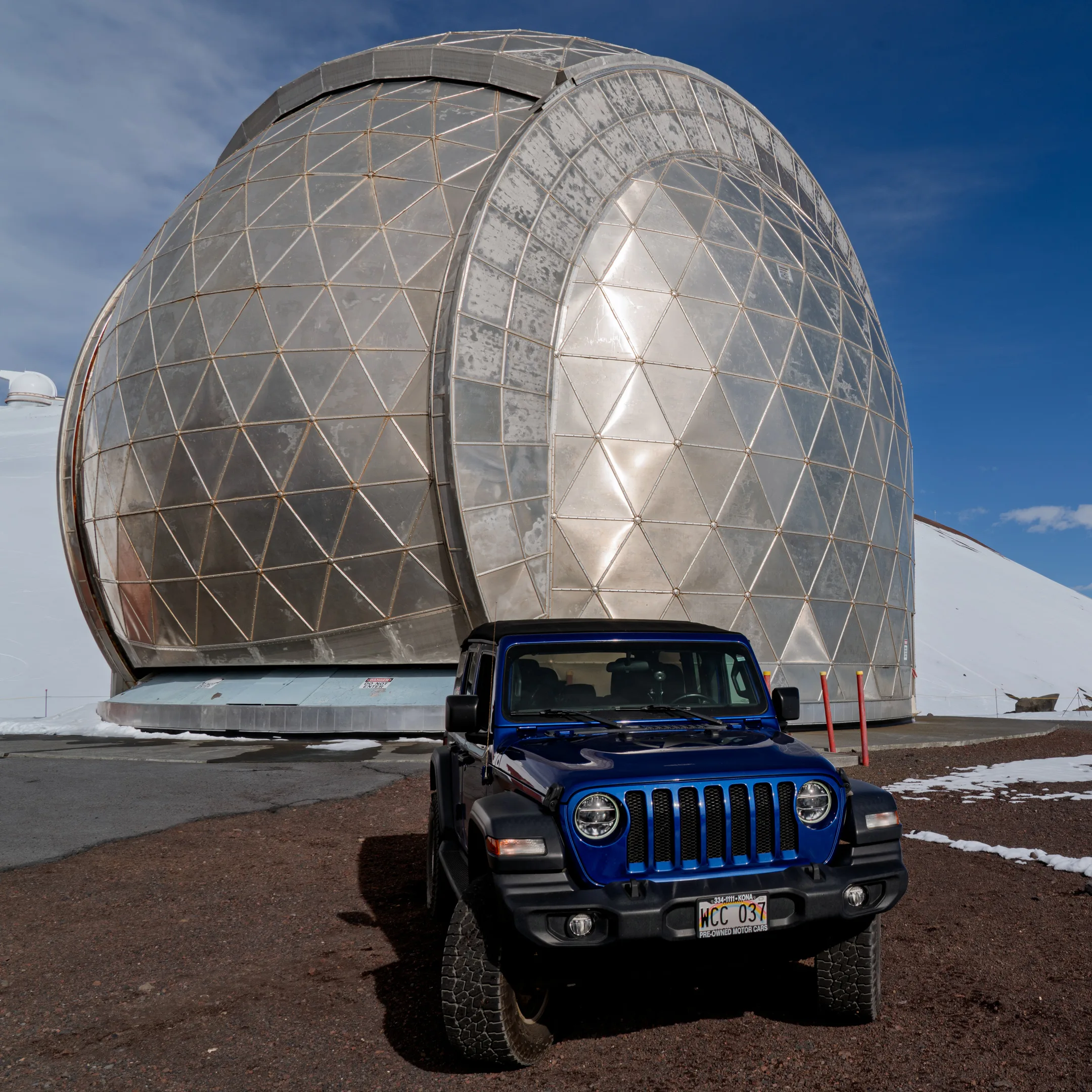
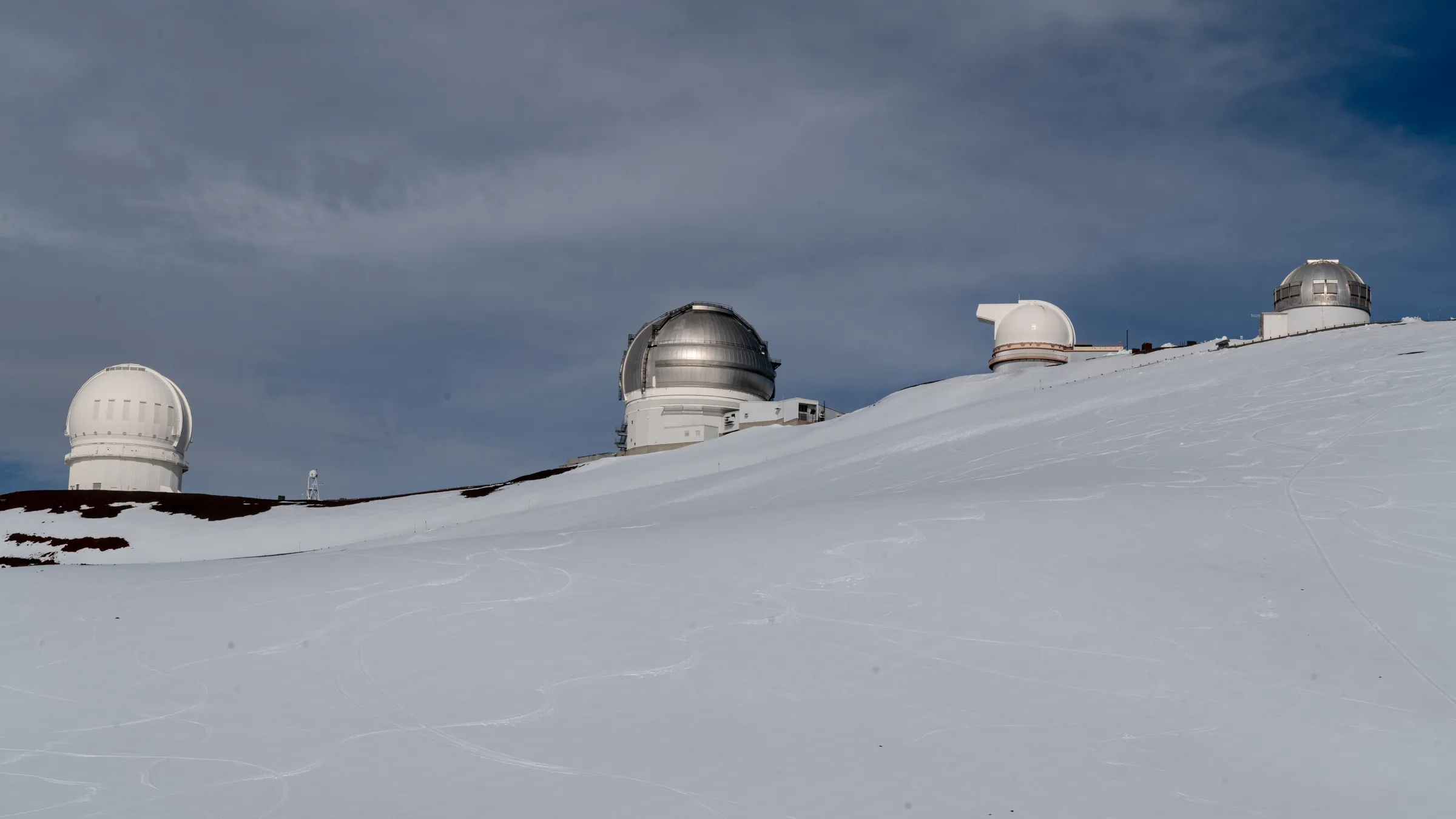
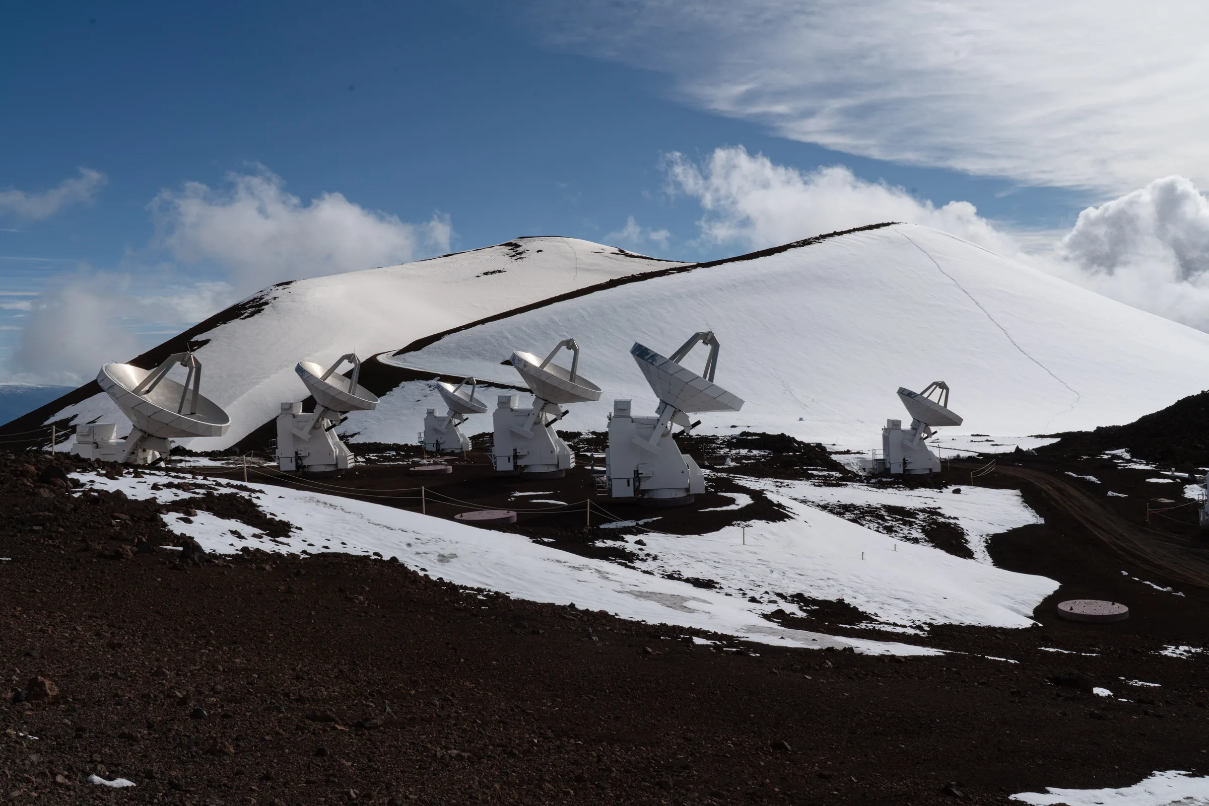
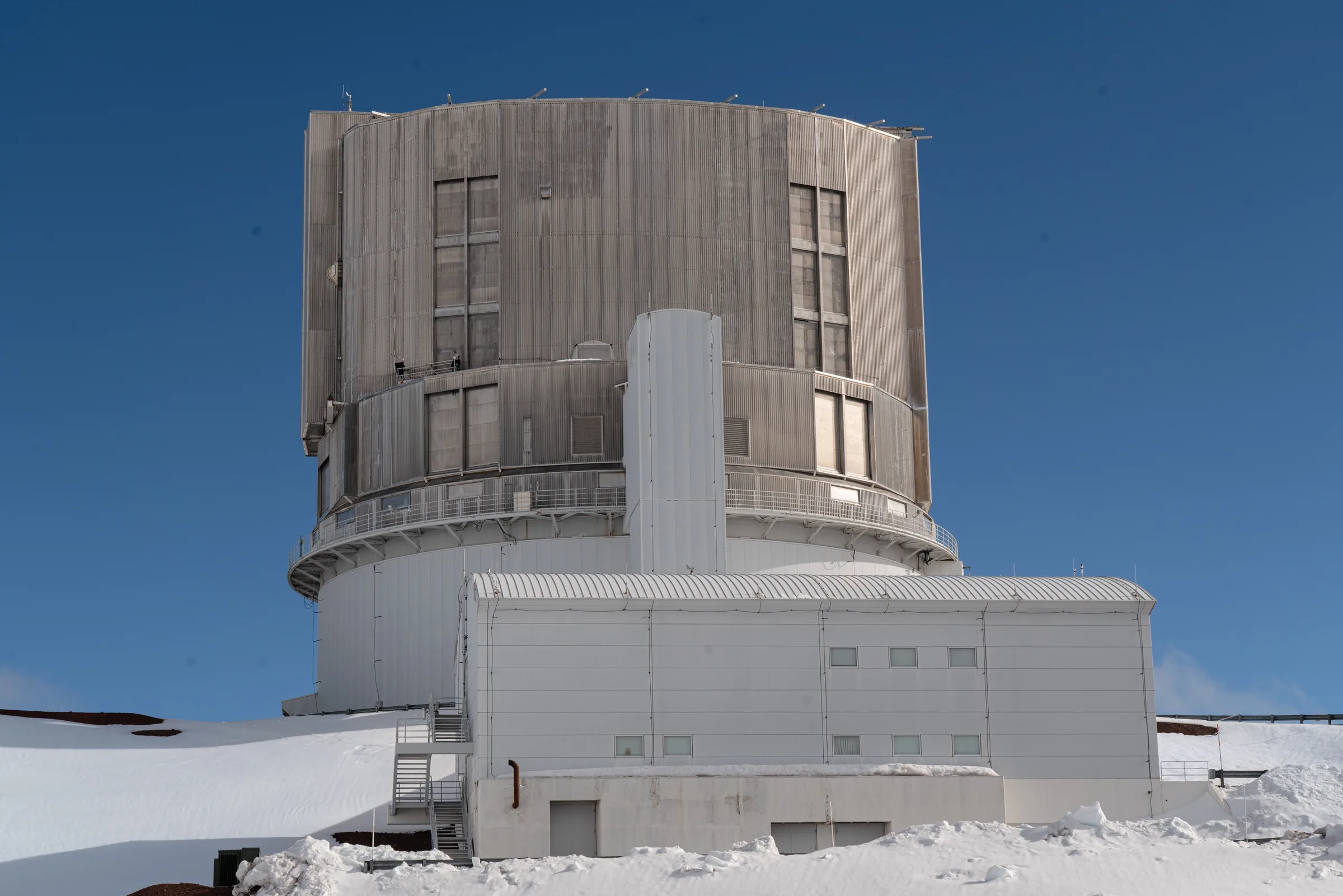
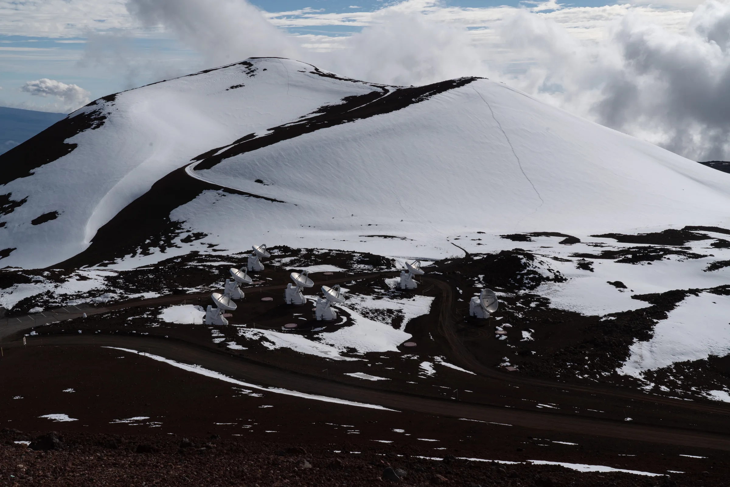
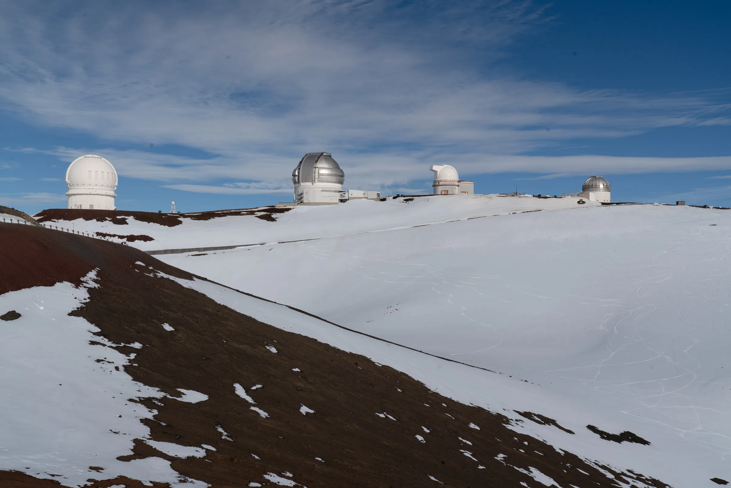
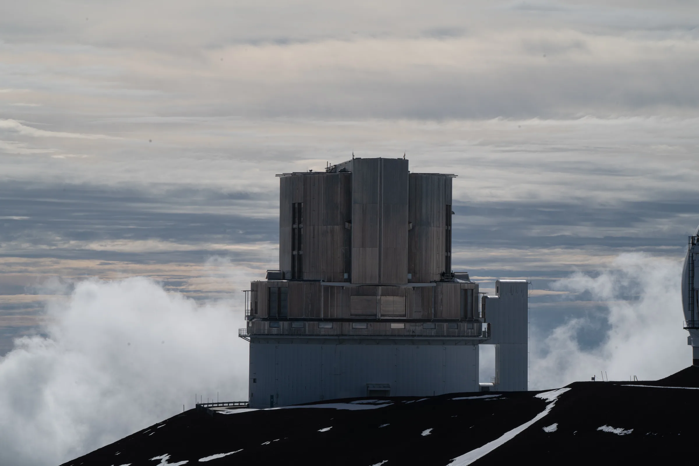
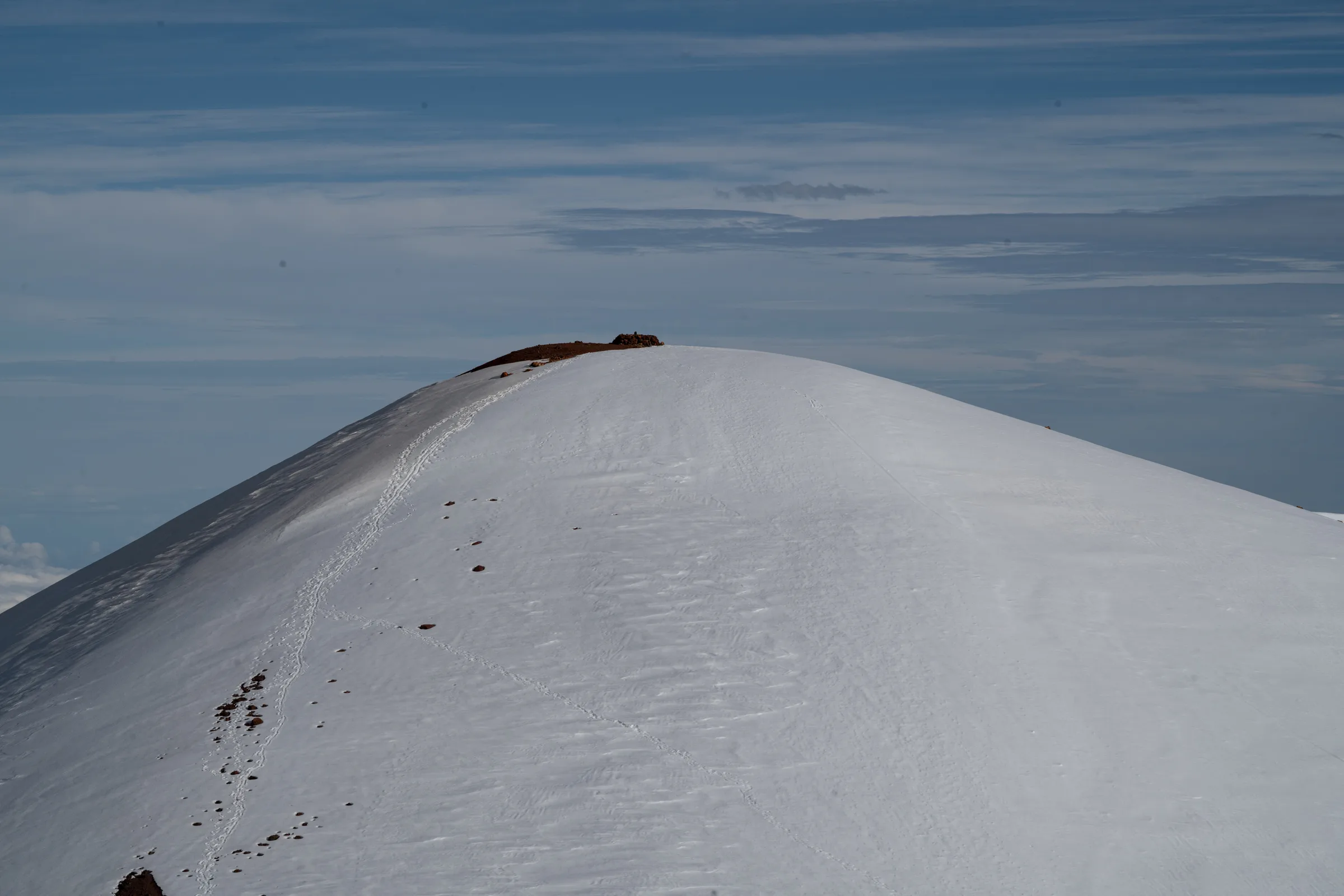
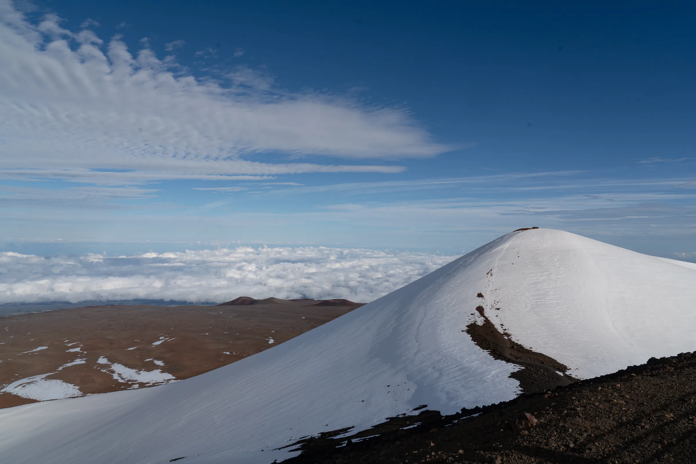
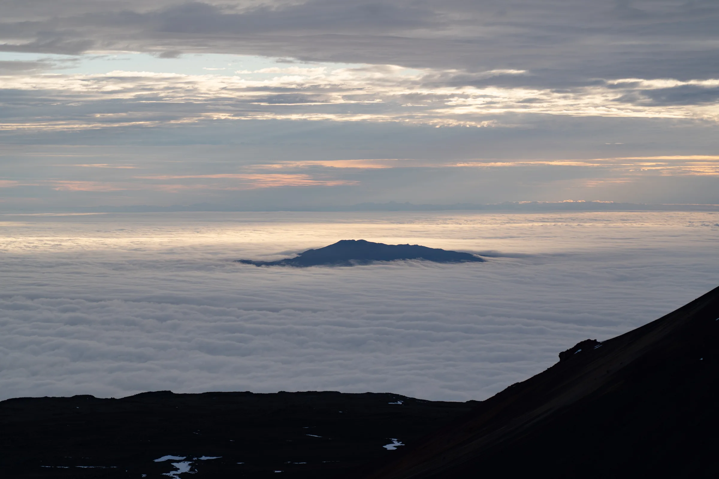
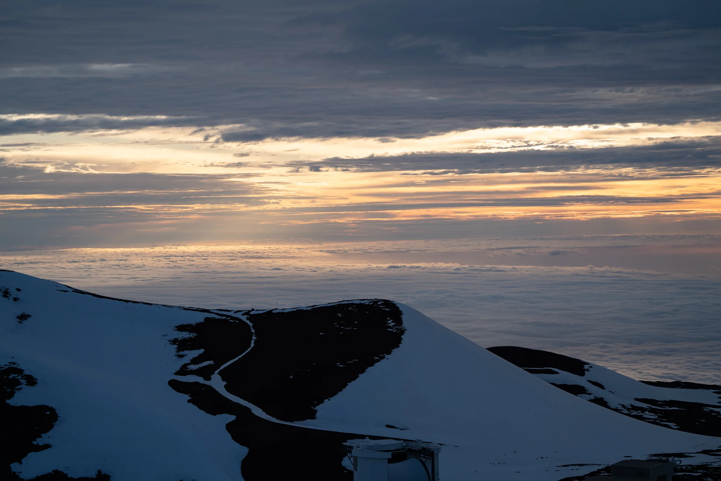
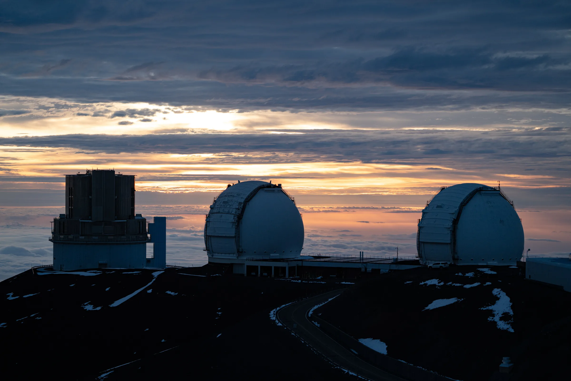
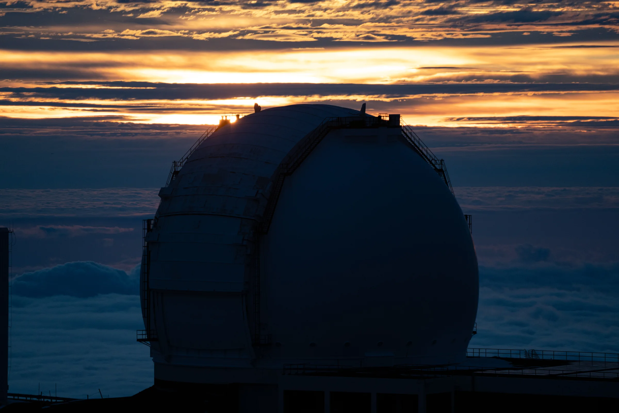
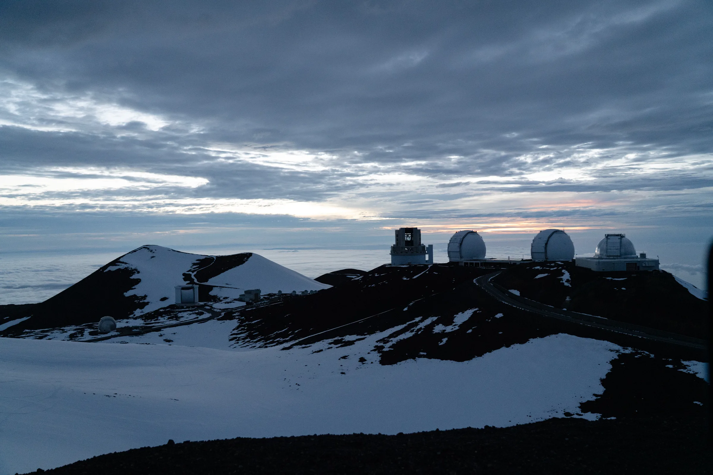
Mauna Kea — from beach to snow in one day
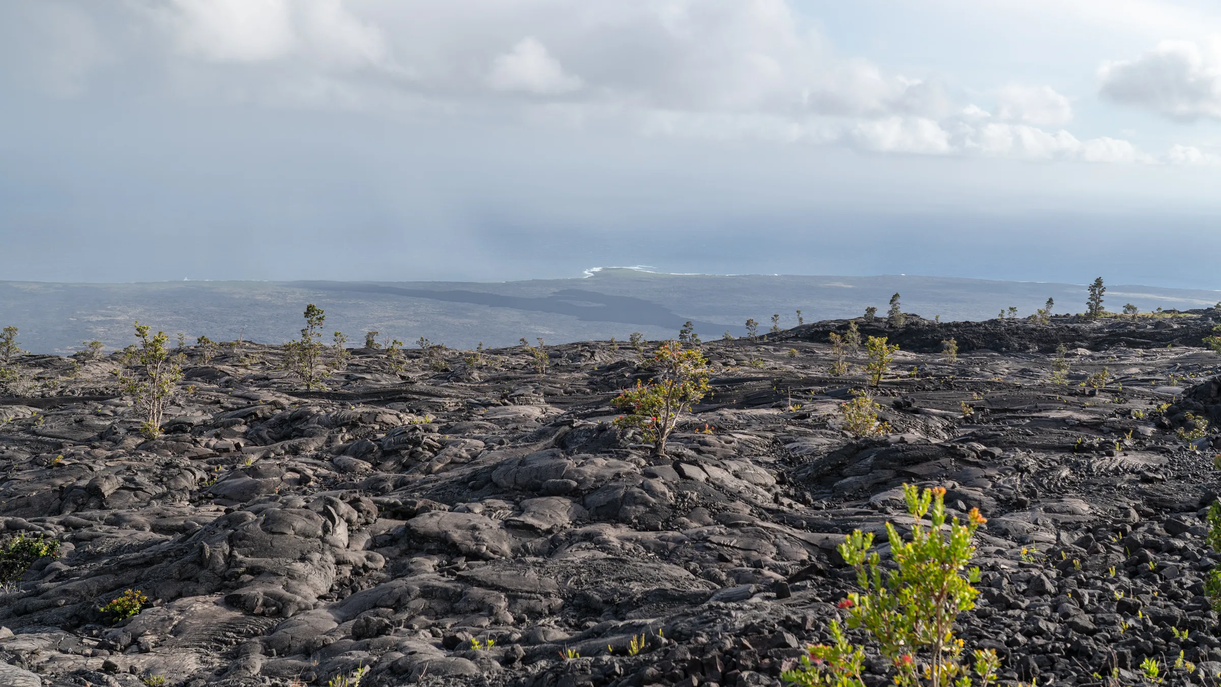
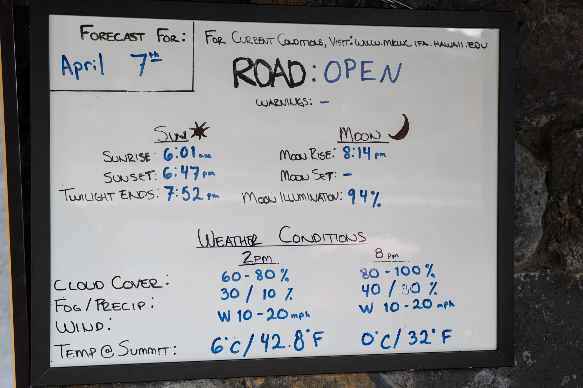
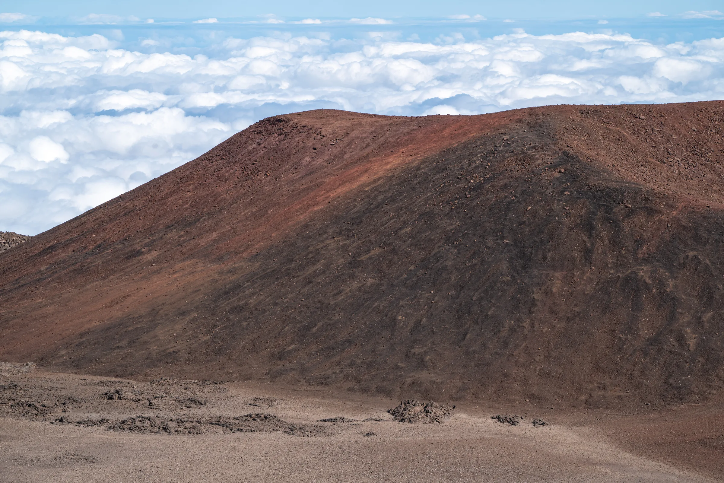
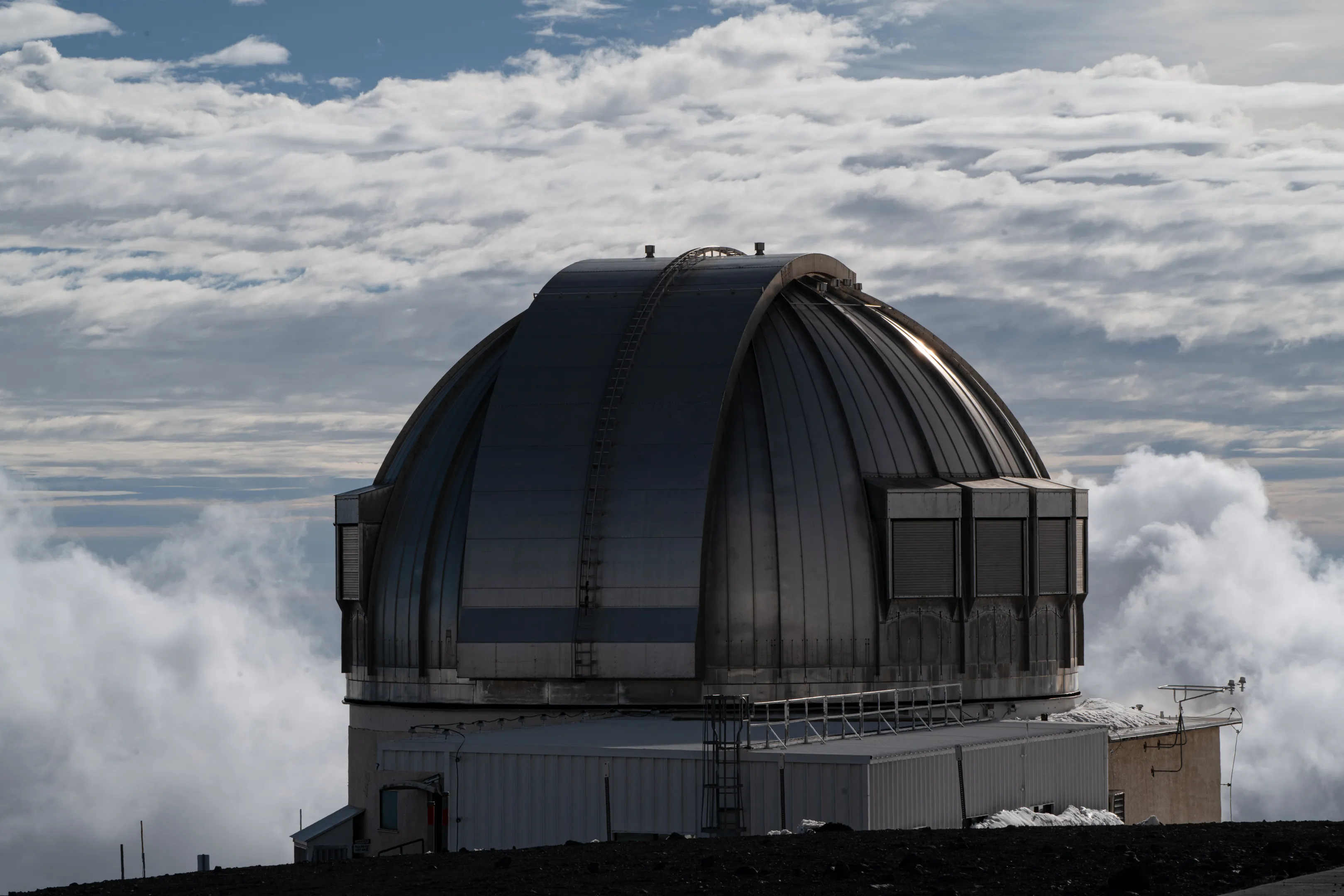
From sea level to the Mauna Kea summit is 4,207 m vertically, but from the ocean floor — 10,210 m, more than Mount Everest measured the classic way. The road starts under palm trees and ends with ice on the shoulder. Above the Onizuka Visitor Center (2,800 m) asphalt turns to gravel; a sign demands 4×4 with low range and an hour of acclimatization. We take both. At the top there is 40% less oxygen; observatory domes sit silent in the sun like white shells. The Hawaiian name — Mauna a Wakea, “mountain of father Wakea” — is on the register of sacred sites; in 2019 the local community blocked construction of another telescope (TMT) for five months.
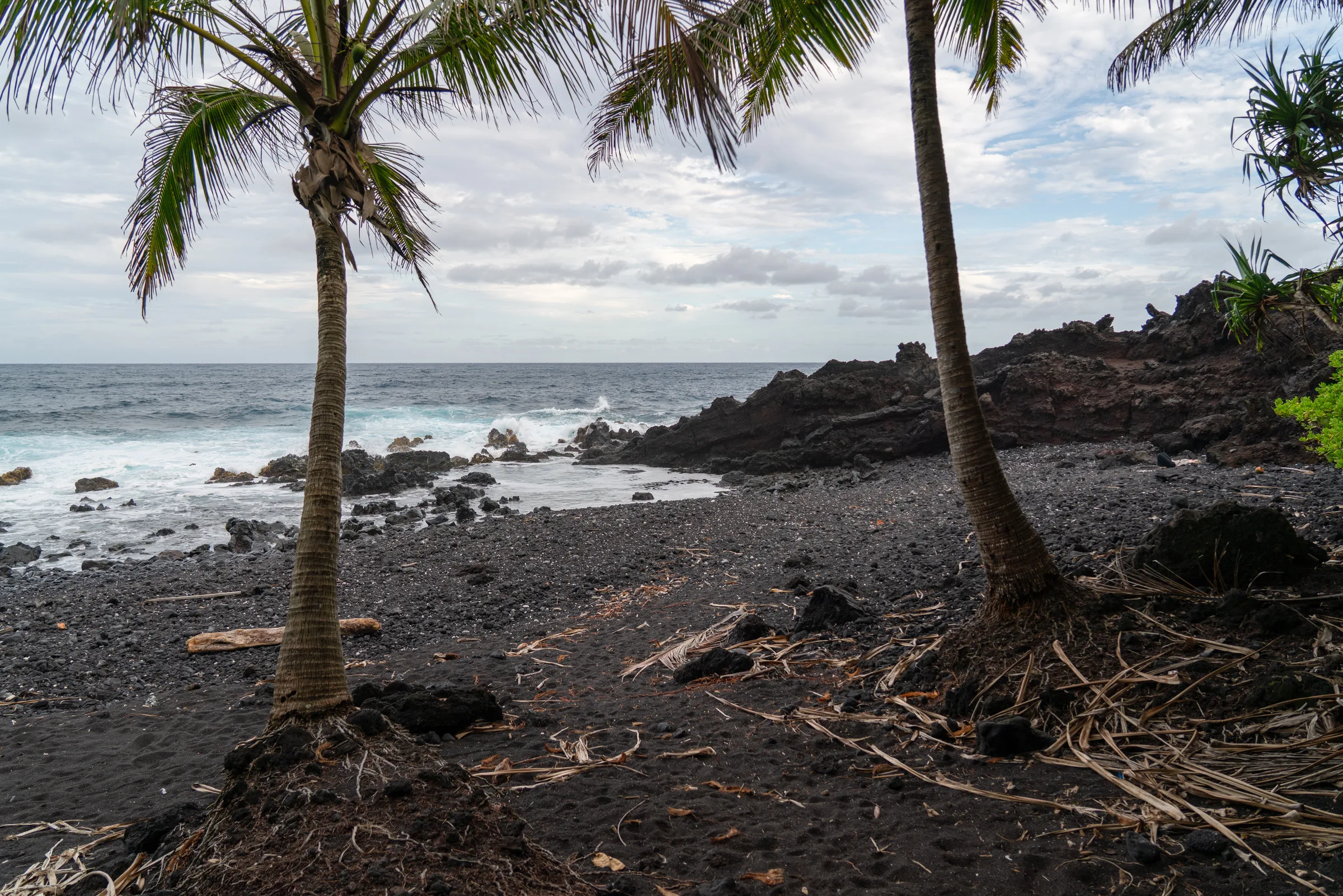
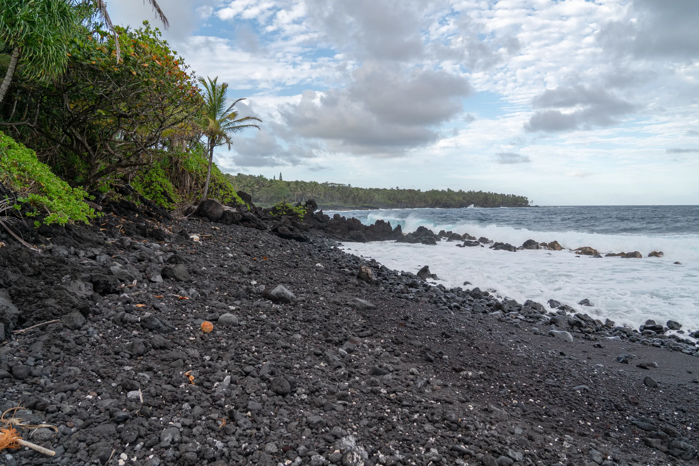
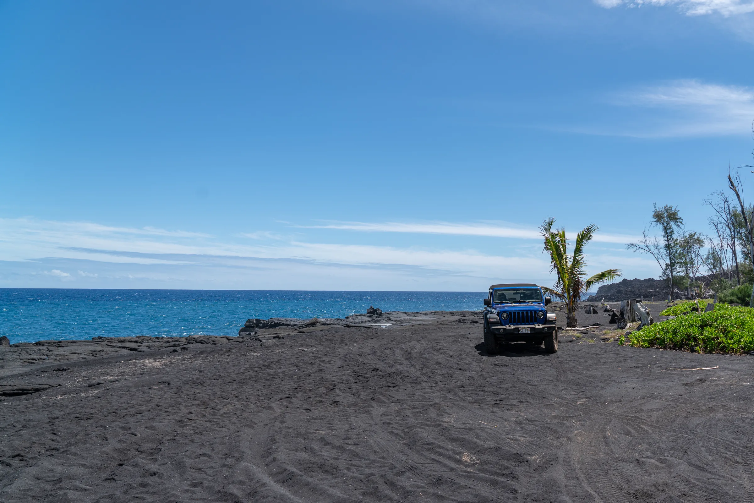
Black sand, green sand
Punaluʻu Beach — coal-black, fine basalt sand from lava cooled in the sea. By afternoon green sea turtles honu haul out and lie in the sun, two meters from your feet. A kilometer and a half on, Papakōlea Bay: one of four green-sand beaches in the world. The sand is olivine washed out of the extinct Pu’u Mahana cinder cone. No road — two hours through a sandy canyon in sandals.
Kona — the dry side
The leeward, western side. Coffee plantations on the slopes of Hualālai between 200 and 800 m — a microclimate (afternoon clouds, well-drained lava soils) that gave the world Kona coffee, one of the more expensive aromatic varieties. Evening on the cliffs of Kealakekua Bay, where Captain Cook was killed on February 14, 1779 — twenty steps from today’s memorial plaque.
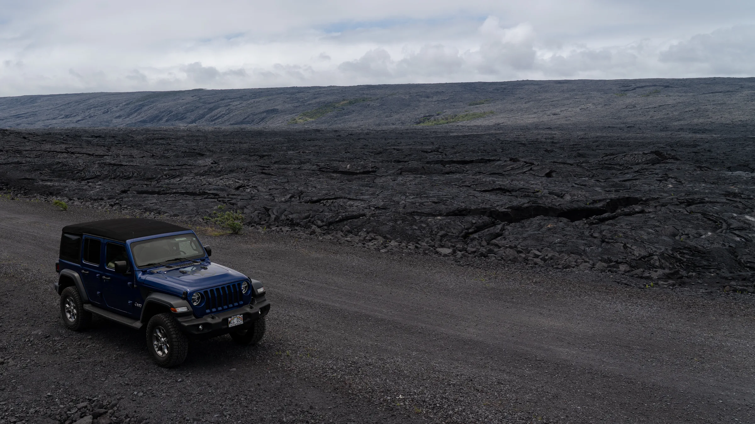
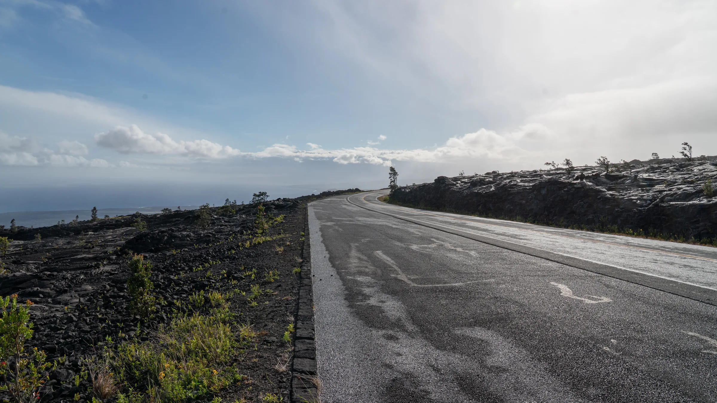
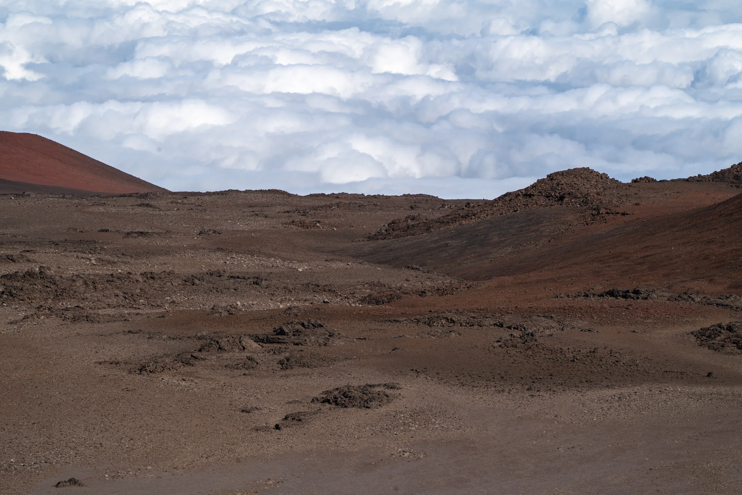
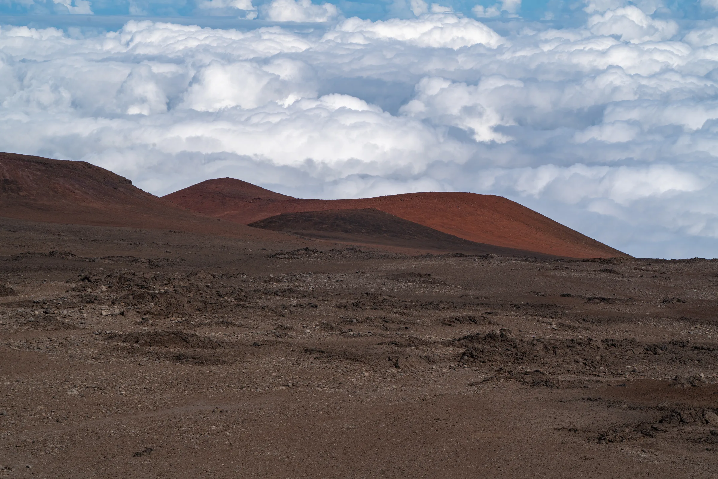
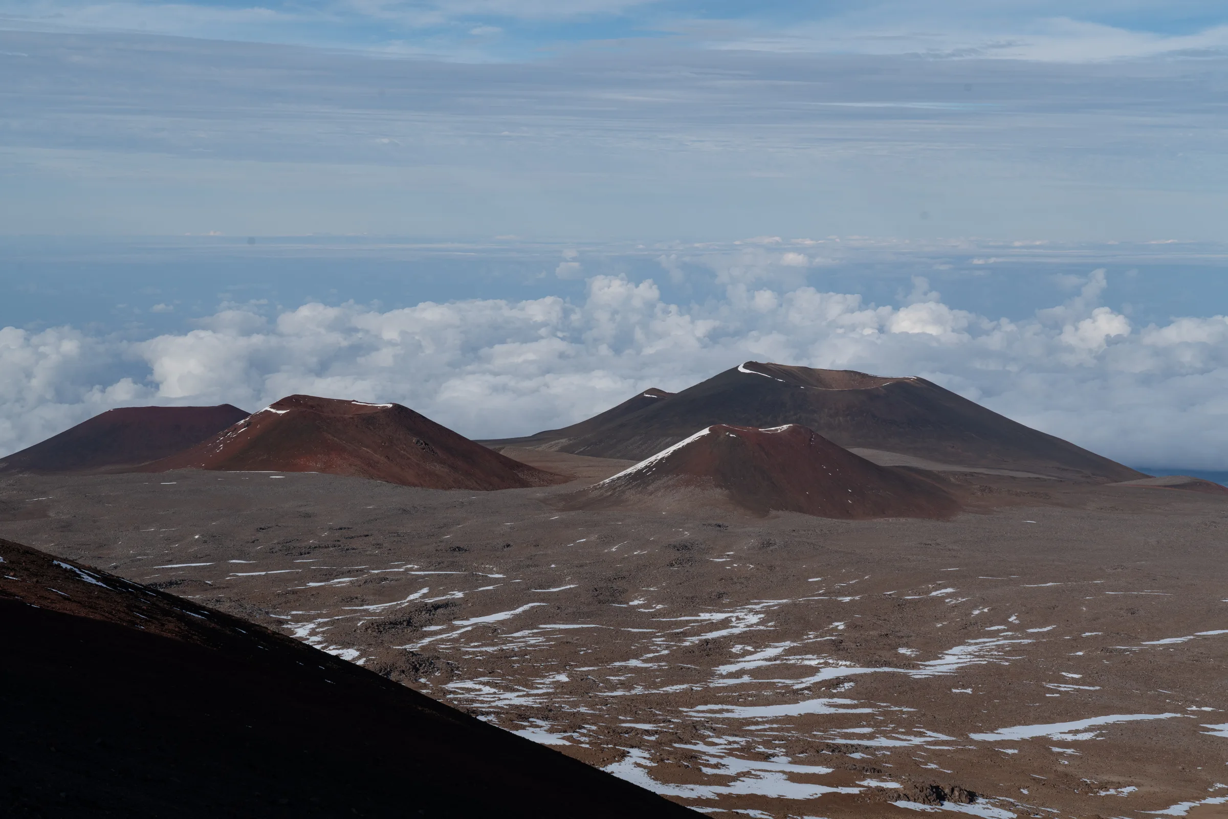
Saddle Road
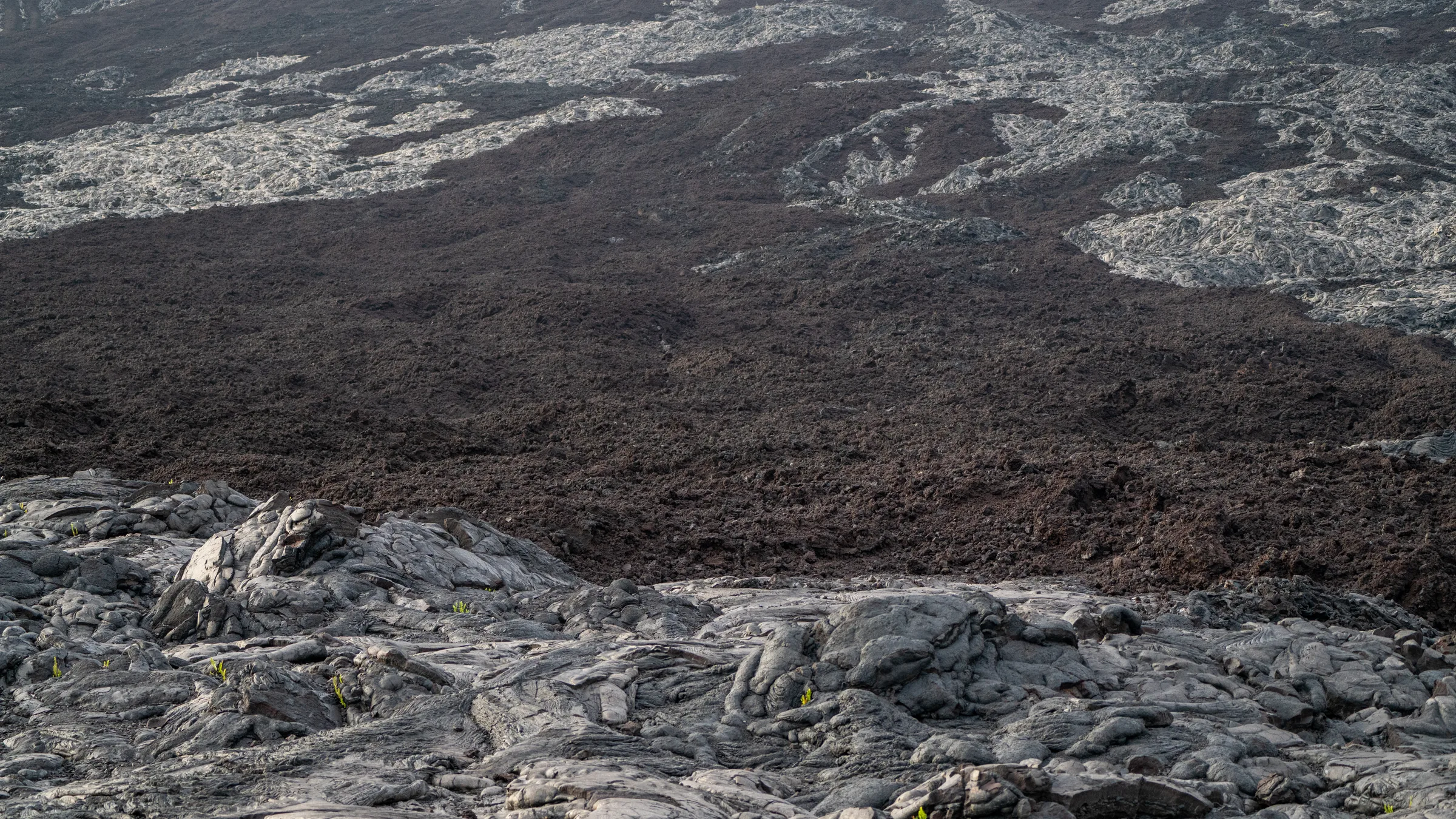
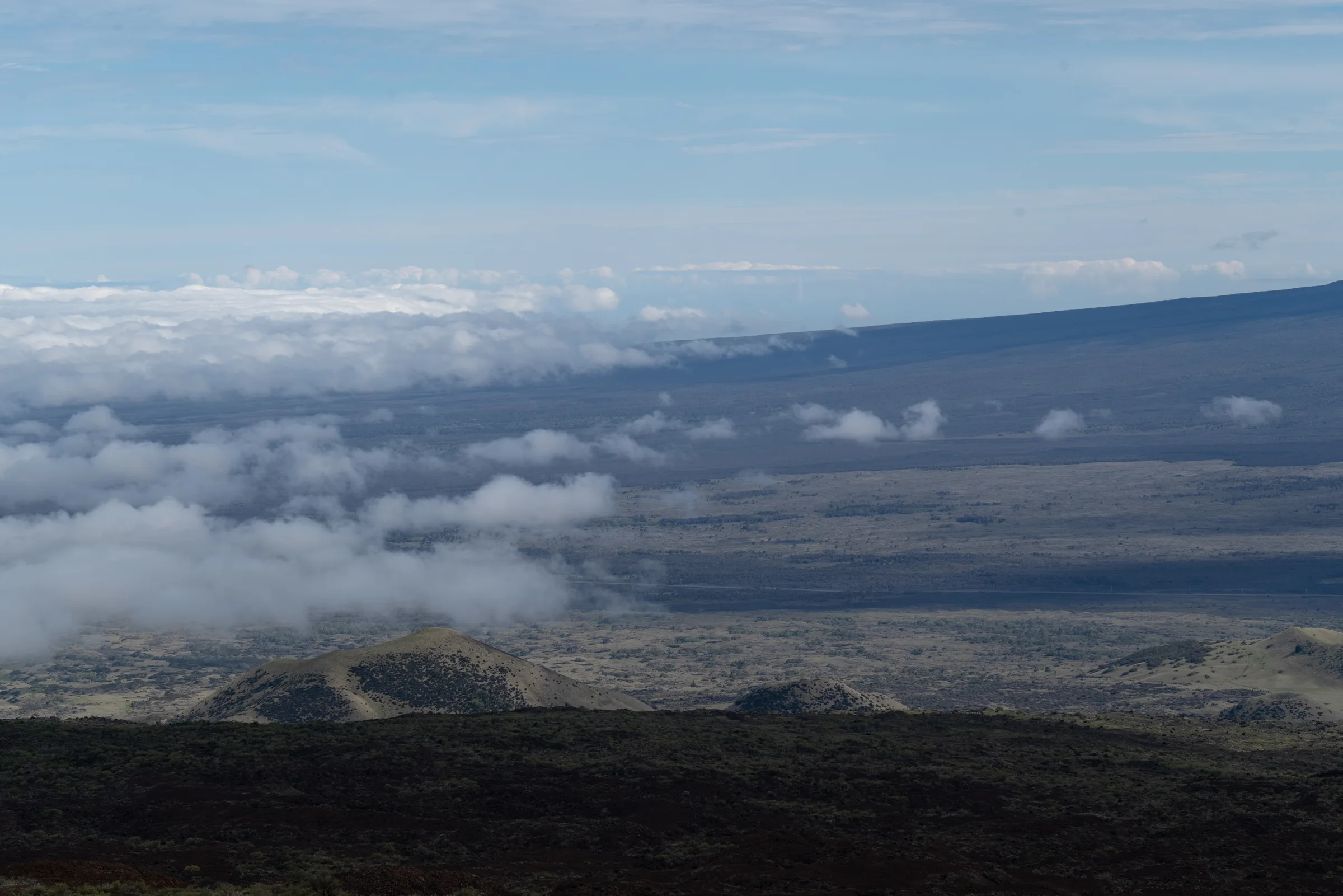
From Hilo to Kona, Saddle Road runs through the island’s interior between the two volcanoes. After the 2013 rebuild the asphalt is smooth, but there are no gas stations — tank up on both ends. Halfway across, the landscape looks like Mars: black pāhoehoe fields cut by gravel tracks, the white summit of Mauna Kea in the distance. 87 km, two hours, four ecosystem shifts.
Season: April–May and October–November — before the summer crowds, while Hilo rains contract to afternoon showers. 4×4 is mandatory only on the Mauna Kea summit road and a few sandy beach approaches; the rest of the island a normal car will do.
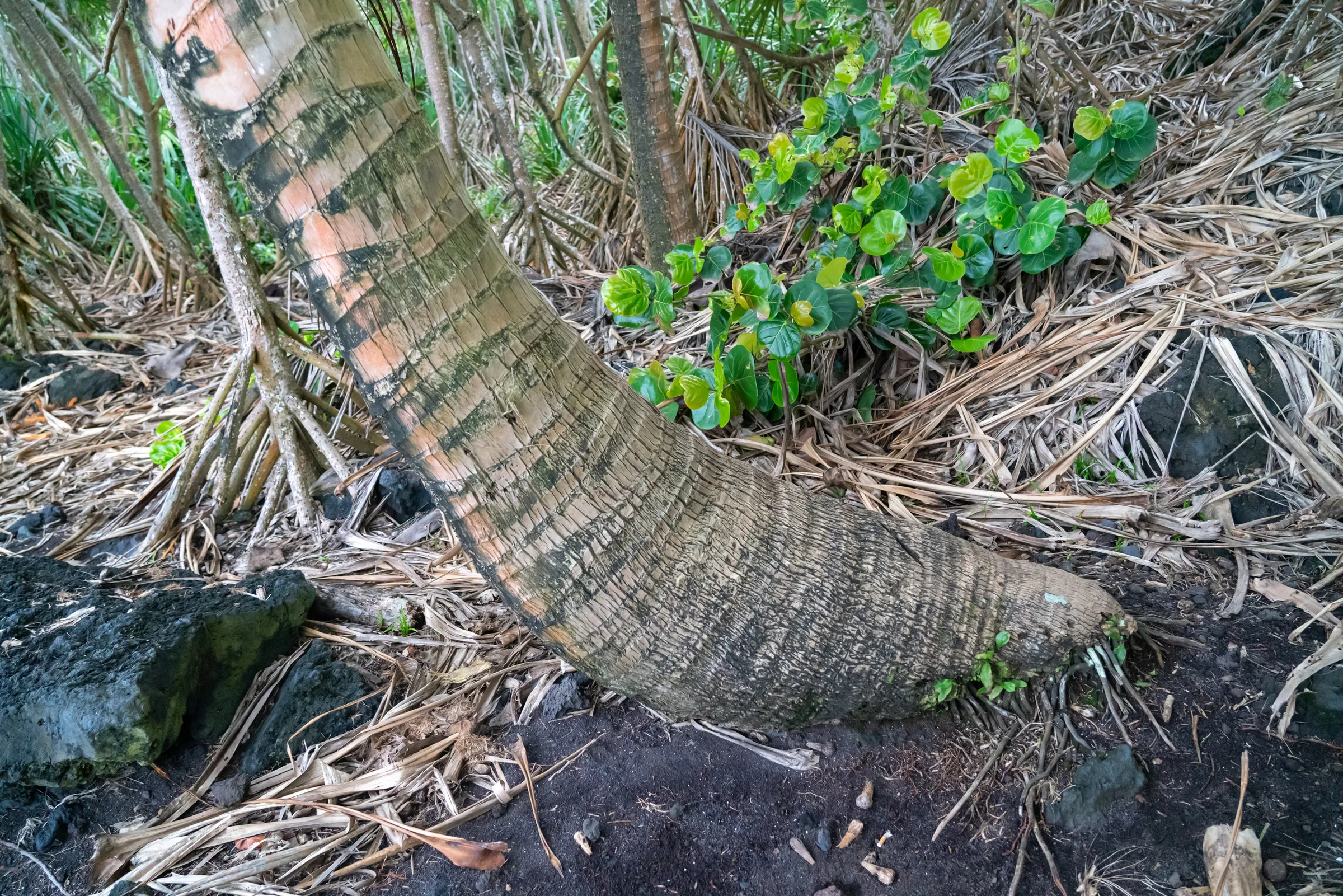
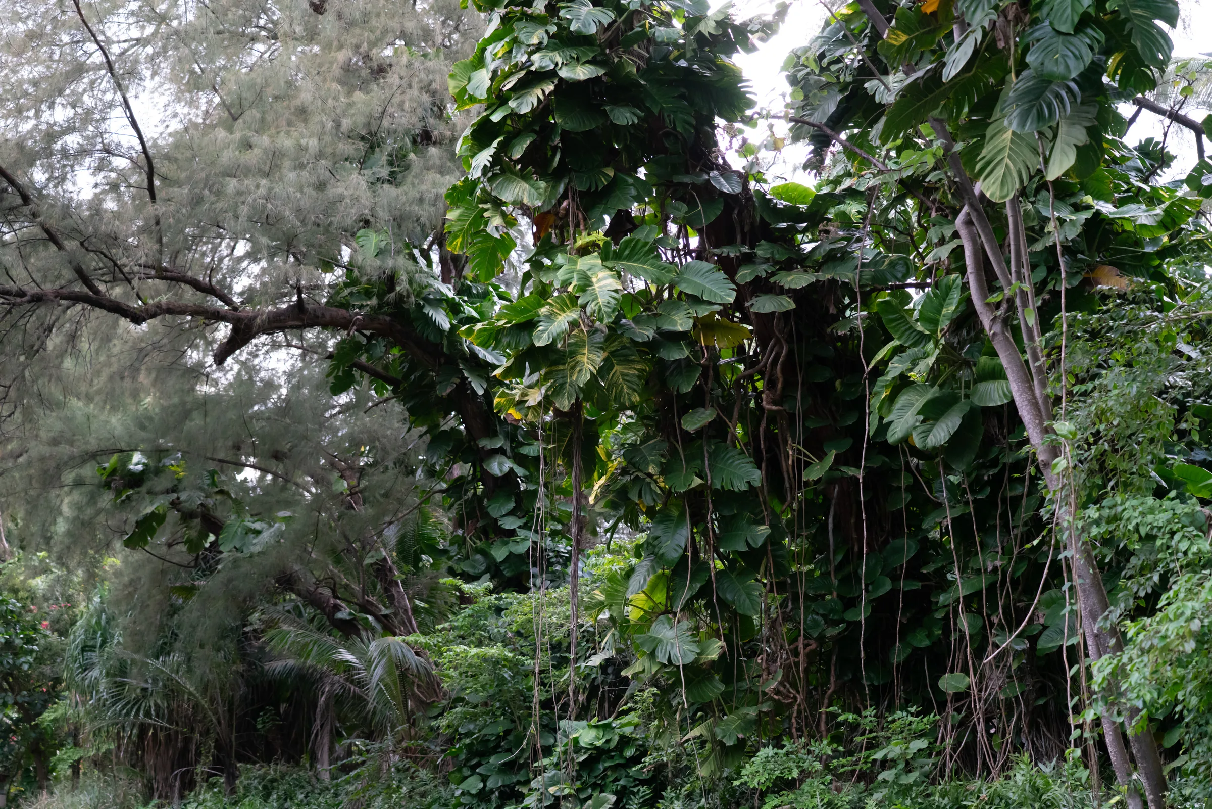
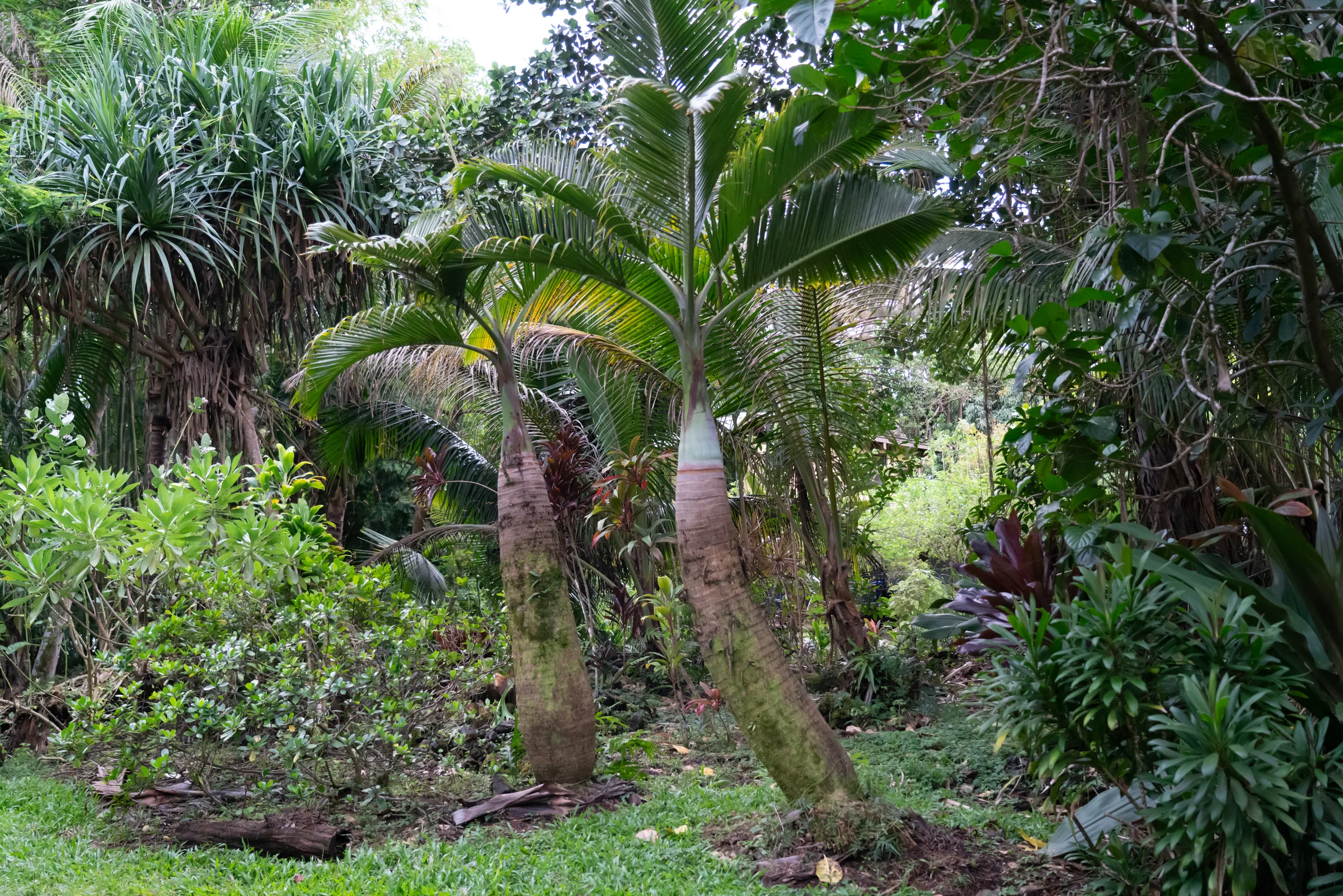
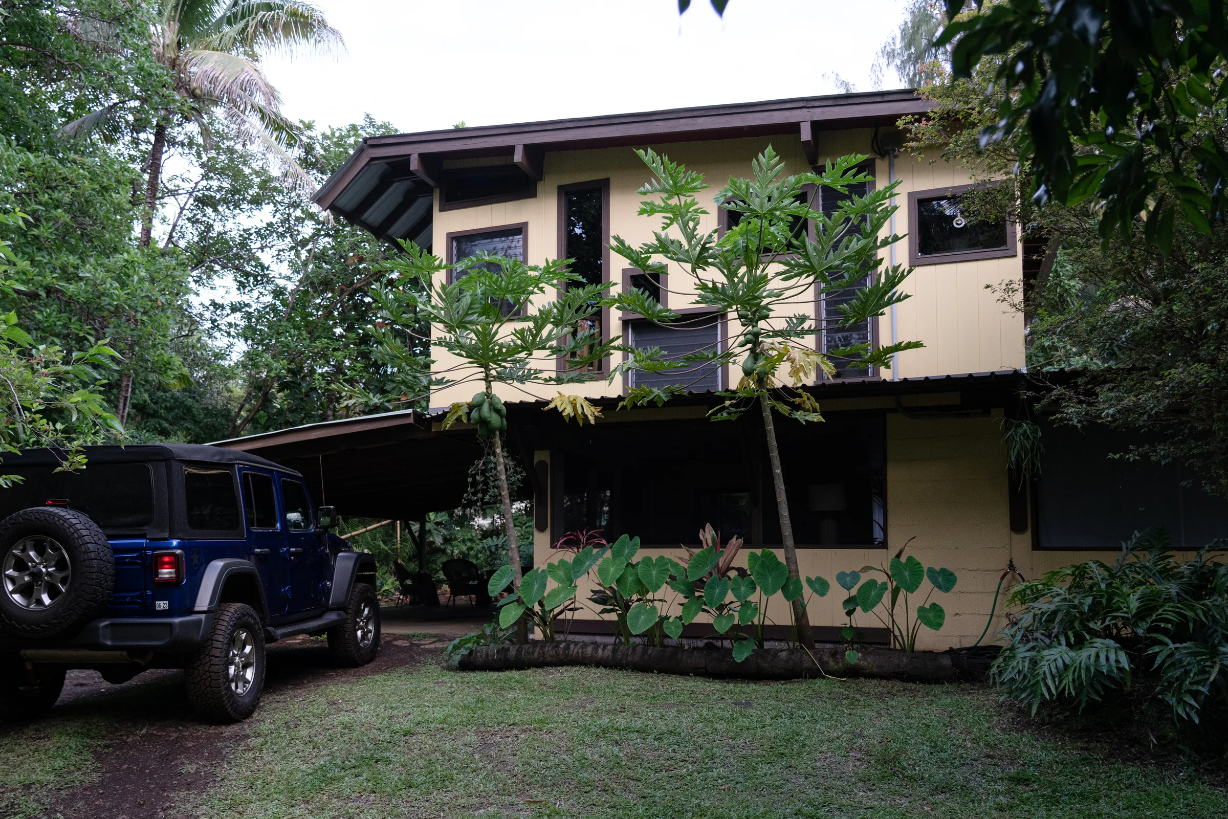
Gallery